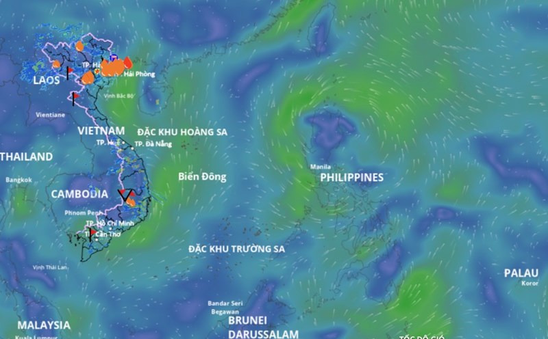
According to the National Center for Hydro-Meteorological Forecasting, a low pressure area is currently active in the sea east of Luzon Island (Philippines).
At 1:00 p.m. on August 7, the low pressure area was located at about 15.5 - 16.5 degrees north latitude; 122.5 - 123.5 degrees east longitude. Coastal waters of Quang Ninh - Hai Phong, eastern waters of the northern and central East Sea, and the Gulf of Thailand will have scattered showers and thunderstorms.
It is forecasted that in the next 24 hours, this low pressure area is likely to move into the eastern sea of the northern East Sea.
On the night of August 7 and August 8, the eastern sea area of the North and Central East Sea will have showers and thunderstorms; the coastal waters of Quang Ninh - Hai Phong, the sea area from Ca Mau to An Giang and the Gulf of Thailand will have scattered showers and thunderstorms. During thunderstorms, there is a possibility of tornadoes and strong gusts of wind.
From August 8, due to the influence of the low pressure area, the sea area east of the northern East Sea will have strong winds of level 4 - 5, sometimes level 6, gusting to level 7 - 8, waves 1.5 - 2.5m high; rough seas.
The meteorological agency warns that all ships operating in the above areas are at risk of being affected by tornadoes and strong gusts of wind.