Last night and this morning (October 12), the area from Quang Tri to Hue city, the South Central Coast, Lam Dong and the Southeast region had scattered showers and thunderstorms, locally heavy to very heavy rain.
Rainfall from 7pm on October 11 to 8am on October 12 was over 70mm at monitoring stations such as: Thanh Son 1 station (Dong Nai) 188mm, Quoc Oai - Da Teh station (Lam Dong) 162mm, K.79 station (Tay Ninh) 73.8mm.
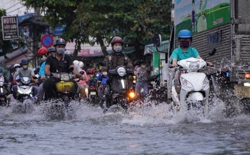
In the area from Quang Tri to Lam Dong and the South in the afternoon and evening of October 12, there will be scattered showers and thunderstorms with rainfall from 10 - 30mm, locally heavy rain over 80mm. Warning of the risk of heavy rain over 60mm within 3 hours.
During thunderstorms, there is a possibility of tornadoes, lightning, hail and strong gusts of wind. Localized heavy rains can cause flash floods on small rivers and streams, landslides on steep slopes and flooding in low-lying areas.
Regarding the hydrological situation, the water level in the middle and downstream of the Mekong River is currently decreasing.
The water level in the Mekong River is currently receding slowly. The highest water level on October 11 on the Tien River at Tan Chau station reached 3.86m, 0.14m lower than alert level 2; on the Hau River at Chau Doc station reached 3.46m, 0.04m lower than alert level 2.
It is forecasted that in the next 24 hours, the water level at the headwaters of the Mekong River will continue to decrease. The water level on the Tien River at Tan Chau station decreased to 3.83m, 0.17m lower than alert level 2; on the Hau River at Chau Doc station decreased to 3.44m, 0.06m lower than alert level 2. At downstream stations of the Mekong River, the water level will drop to approximately level 2 from alert level 3.
Risk of flooding in low-lying areas, riverside and off-dike areas in An Giang province, as well as low-lying areas, riverside in Dong Thap, Can Tho and Vinh Long provinces. Localities need to be on guard against landslides on embankments and weak dykes in flooded areas.
The warning level of natural disaster risk due to floods is level 1. Floods on rivers cause flooding in low-lying areas along rivers, affecting waterway transportation, aquaculture, agricultural production, people's daily life and other socio-economic activities.