According to the National Center for Hydro-Meteorological Forecasting, last night and this morning (September 14), the mountainous areas of the North had scattered showers and thunderstorms, with some places having heavy rain.
Rainfall from 7pm on July 13 to 8am on July 14 was over 60mm at some monitoring stations such as: Dong Vien station (Thai Nguyen) 126.2mm, Kan Ho station (Lai Chau) 68mm, Nam Luc station (Lao Cai) 64.2mm, Ka Lang station (Lai Chau) 62mm,...
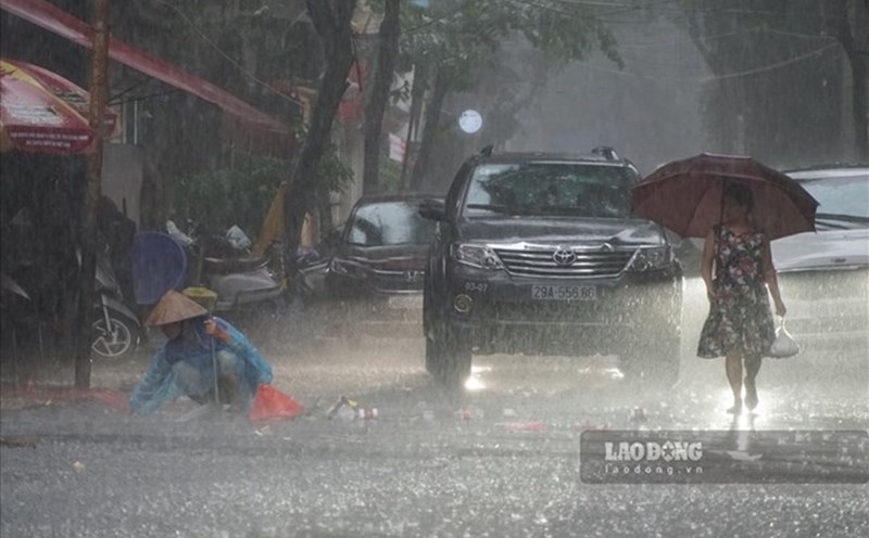
It is forecasted that in the afternoon and night of July 14, the mountainous areas of the North, Central and South will have scattered showers and thunderstorms, locally heavy rain with rainfall of 10 - 30mm, locally over 60mm.
During thunderstorms, there is a possibility of tornadoes, lightning, hail and strong gusts of wind. Localized heavy rains are likely to cause flash floods on small rivers and streams, landslides on steep slopes and flooding in low-lying areas. The warning level of natural disaster risk due to tornadoes, lightning, and hail is level 1.
Regarding the sea weather, currently, the southern East Sea area (including Truong Sa special zone), the sea area from Lam Dong to Ca Mau and the Gulf of Thailand are having scattered showers and thunderstorms.
Forecast for the day and night of July 14, the northern Gulf of Tonkin, the central and southern East Sea (including Truong Sa special zone), the sea area from Lam Dong to Ca Mau, from Ca Mau to An Giang and the Gulf of Thailand will have scattered showers and thunderstorms.
During thunderstorms, there is a possibility of tornadoes, strong gusts of wind and waves over 2m high. All ships operating in the above areas are at risk of being affected by tornadoes and strong gusts of wind.