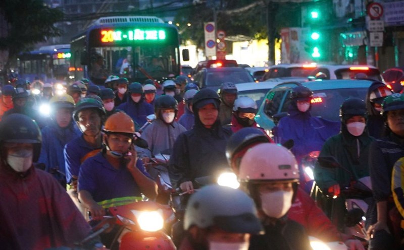
According to the National Center for Hydro-Meteorological Forecasting, last night (6.), the Northwest region and the provinces of Cao Bang, Bac Kan, Lang Son, Ha Giang, Tuyen Quang, Thai Nguyen had scattered showers and thunderstorms, locally heavy to very heavy rain.
Rainfall from 7pm on June 6 to 7am on June 7 was over 60mm in some places, such as: Bac Quang (Ha Giang) 162mm, Thach Lam (Cao Bang) 62.6mm...
In the mountainous and midland areas of the North in the evening and night of June 7, there is a forecast of showers and scattered thunderstorms, locally heavy rain with rainfall of 15 - 30mm, locally over 70mm.
In the South Central, Central Highlands and Southern regions in the afternoon and evening of June 7, there will be showers and thunderstorms, locally heavy rain with rainfall of 20-40mm, locally over 80mm.
The meteorological agency warns that there is a possibility of tornadoes, lightning, hail and strong gusts of wind during thunderstorms. Localized heavy rains are likely to cause flash floods on small rivers and streams, landslides on steep slopes and flooding in low-lying areas. The warning level of natural disaster risk due to tornadoes, lightning, and hail is level 1.
The total rainfall in June across the country is expected to be approximately the average of the same period at the same period; Particularly in the North Central region, the total common rainfall is higher than the average of the same period from 15-25%.
During the forecast period, the Northern and North Central regions will likely experience some widespread heavy rains.
In the Central Highlands and the South, the southwest monsoon tends to get stronger, so the rain is likely to increase in both area and rainfall.
On a national scale, there is a continued possibility of dangerous weather phenomena such as thunderstorms, tornadoes, lightning, hail and strong gusts of wind.
The phenomenon of heavy rain and thunderstorms, whirlwinds, and lightning can negatively affect production activities and public health. In particular, beware of localized heavy rains that can cause floods, inundation in low-lying areas and landslides in mountainous areas.
Regarding the sea weather, currently, the central and southern East Sea (including the Truong Sa archipelago), the sea area from Binh Thuan to Ca Mau has scattered showers and thunderstorms.
Forecast for today and tonight, June 7, the central and southern East Sea (including the Truong Sa archipelago), the sea from Binh Thuan to Ca Mau, Ca Mau to Kien Giang and the Gulf of Thailand will have showers and thunderstorms.
During thunderstorms, there is a possibility of tornadoes, strong gusts of wind of level 6 - 7 and waves over 2m high. All ships operating in the above areas are at risk of being affected by tornadoes and strong gusts of wind.


