The National Center for Hydro-Meteorological Forecasting has issued a forecast of notable weather trends in the next month (ie from now until November 20).
Storm likely to mainly affect the Central region
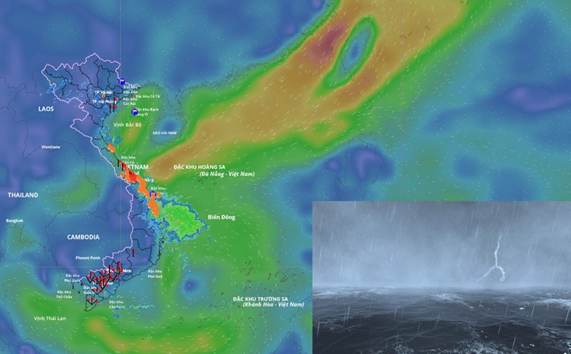
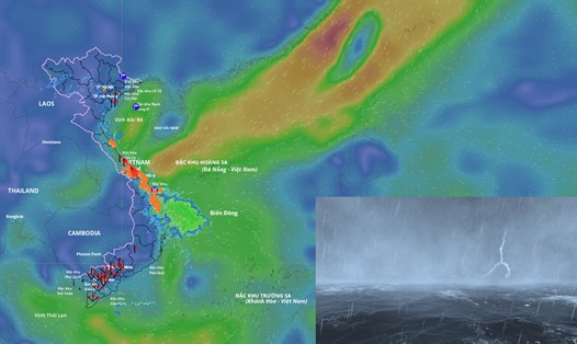
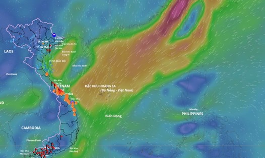
In the next month, one of the notable weather patterns will still be storms/tropical depressions and storm rain.
According to Mr. Nguyen Duc Hoa - Deputy Head of Climate Forecasting Department, National Center for Hydro-Meteorological Forecasting, according to the average data of many years in the above period, there were 1.7 storms or tropical depressions in the East Sea, 0.9 of which made landfall in Vietnam.
In the period from October 21 to November 20, 2025, it is forecasted that there will be 2 - 3 storms or tropical depressions in the East Sea and there will be 1 - 2 storms affecting the mainland of Vietnam.
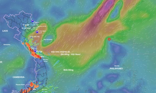
According to Dr. Truong Ba Kien - Deputy Director of the Center for Meteorological and Climate Research - Institute of Meteorology, Hydrology and Climate Change - from now until the end of 2025, tropical cyclone activity in the East Sea will be at a level close to the average of many years.
"The main affected area is likely to be the Central region, especially in October and November, when storm activity often peaks at the end of the season" - Dr. Kien commented.
Previously, from September 21 to now, there have been 4 storms and 1 tropical depression in the East Sea, including: Storm No. 9 Ragasa, storm No. 10 Bualoi, storm No. 11 Matmo and storm No. 12 Fengshen. Of which, storms No. 9, No. 10 and No. 11 have directly affected our country.
Data analyzed by the meteorological agency also shows that in the next month, the total rainfall in the Northern region and Thanh Hoa will generally be 10 - 30% lower than the average of many years.
Other areas with total rainfall are generally 10 - 30% higher than the average of many years. In particular, the area south of Quang Tri to Quang Ngai is likely to have a total rainfall of 30 - 50% higher than the average of many years in the same period.
In the provinces from Ha Tinh to Gia Lai and Khanh Hoa, during the forecast period, there is a possibility of widespread heavy rains. The western provinces from Dak Lak - Lam Dong and the Southern region will have many days of showers and thunderstorms; in which, some days may have moderate to heavy rain.
On a national scale, there is a continued possibility of dangerous weather phenomena such as thunderstorms, whirlwinds, lightning, hail and strong gusts of wind.
Cold air increases intensity and frequency
Regarding temperature trends, during the forecast period, the average temperature in most areas across the country is generally about 0.5 degrees Celsius lower than the average of many years. In particular, the provinces from Ha Tinh to Hue are generally 0.5 - 1 degree Celsius lower than the average of many years in the same period.
According to Mr. Nguyen Duc Hoa, in the next month, cold air will continue to increase in frequency and intensity.
The meteorological agency has specifically warned that in the last months of the year, storms, tropical depressions, southwest monsoons and cold air can cause strong winds, large waves at sea and affect the activities of ships. In particular, beware of heavy rain that can cause flooding, inundation in low-lying areas and landslides in mountainous areas. The phenomenon of heavy rain and thunderstorms, whirlwinds, and lightning can negatively affect production activities and public health.
In the context of climate change, weather and climate are becoming increasingly complex with many dangerous and extreme forms such as short-term heavy rain, flash floods, landslides, etc.
Therefore, it is recommended that authorities at all levels and people regularly update and integrate hydrometeorological forecast and warning information in short-term bulletins of 1-3 days, to promptly adjust production plans and appropriate response plans, especially appropriate reservoir operation plans, ensure the safety of works and downstream areas, along with ensuring safety for production and people's lives.