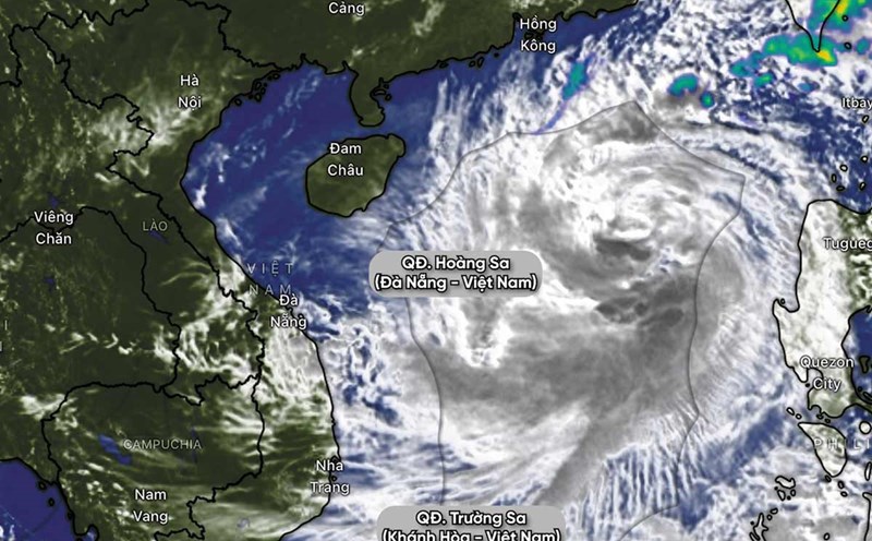
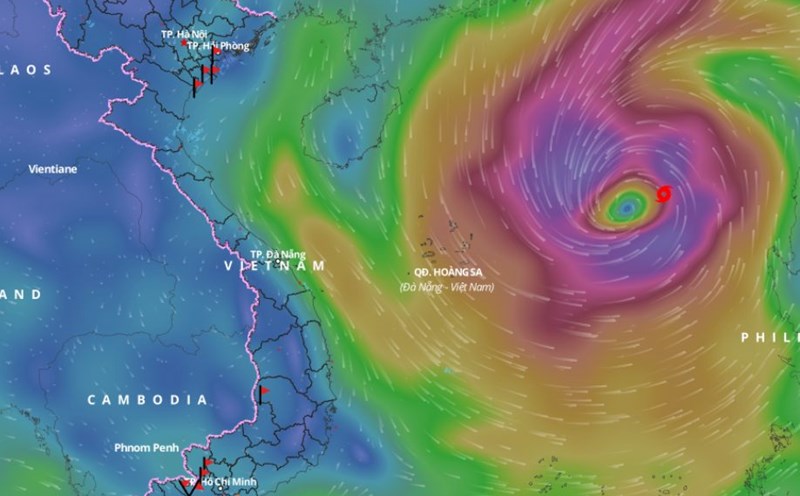
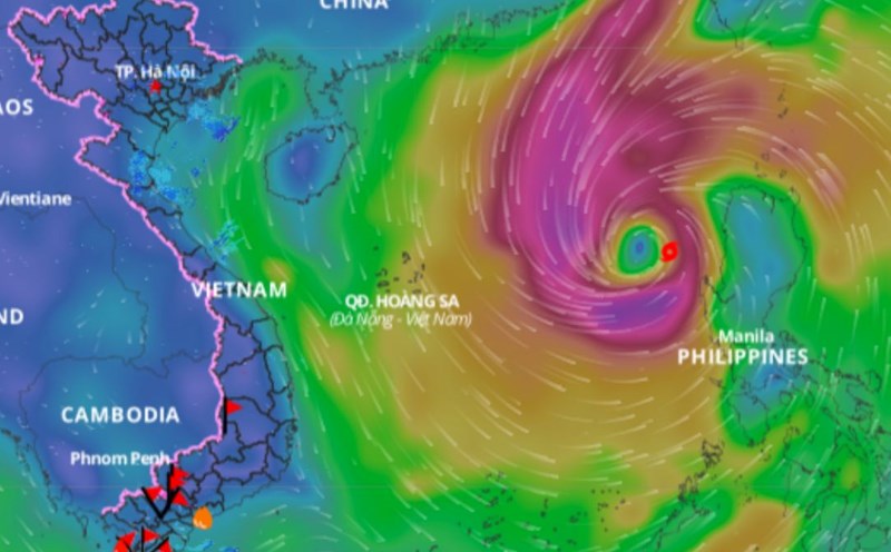
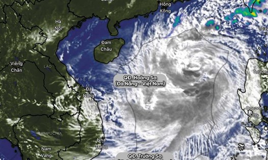
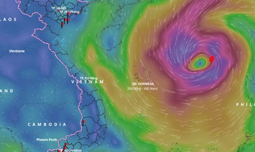
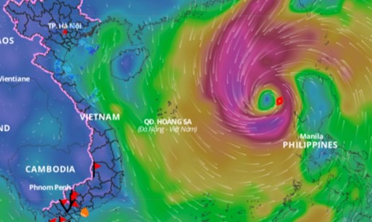
According to the National Center for Hydro-Meteorological Forecasting, early this afternoon, October 25, the center of storm Tra Mi was located in the eastern sea of the North East Sea with the strongest wind near the center of the storm at level 10, gusting to level 12. In the next 24-48 hours, the storm is forecast to move relatively stable and continue to strengthen.
Dr. Hoang Phuc Lam - Deputy Director of the National Center for Hydro-Meteorological Forecasting, Directorate of Hydro-Meteorological Forecasting provided the latest comments on storm Tra Mi.

Sir, what is the most likely scenario for the upcoming Tra Mi storm?
- Storm Tra Mi will reach its maximum intensity when the storm is east of Hoang Sa archipelago with strong winds of level 11 - 12, gusting to level 13 - 14.
The highest probability scenario (about 60%) is that when the storm enters the Hoang Sa archipelago, it tends to slow down. The storm's intensity will gradually weaken due to a cold air mass from the north moving south, causing the storm to gradually be pushed south.
The storm weakened to level 7 - level 8 and tended to move outwards, remaining relatively long in the coming time. From there, it led to the formation of a tropical convergence zone in the central and southern East Sea, causing prolonged rain in the Central region.
Another less likely scenario (about 30%) is when the storm enters the Hoang Sa archipelago and interacts with cold air, it weakens. However, the storm will still move ashore and weaken over the mainland of Vietnam.
With these two scenarios, how do you forecast the key areas and peak times affected by storm Tra Mi, sir?
- With both scenarios, the most notable impact is still heavy rain in the Central Central region. This will be the area most clearly affected by storm No. 6. During the peak time from around the afternoon and evening of October 26, the Central Central region (provinces from Ha Tinh to Quang Ngai) will experience a period of moderate, heavy to very heavy rain.
The focus will be on the provinces of Quang Binh, Quang Tri, Thua Thien Hue and Da Nang to Quang Nam. We do not have specific parameters yet but the common rainfall is about 300 - 500mm within three days.
Sir, with such heavy rain, can you warn about other dangerous natural disasters that may occur due to storms?
- Such a large amount of rain and the possibility of concentrated rain in a short period of time. When the storm approaches the coast of Vietnam, the biggest risk is flash floods and landslides in the Central Central region.
In Da Nang, there have been cases of urban flooding due to rainfall of up to 400 - 500mm within a day. In the upcoming rains, the risk of flooding may also appear.
Furthermore, with 300 - 500mm of rainfall, water levels in rivers and reservoirs are also likely to rise.
Thank you very much!