According to the Northern Hydrometeorological Station, in the past 24 hours, Hanoi has had scattered showers and thunderstorms, with some places having moderate to heavy rain. The common rainfall was 15 - 30mm, some places were higher such as Mieu Mon 76.3mm, Cau Ram 69.2mm, Xuan Mai 50.2mm.
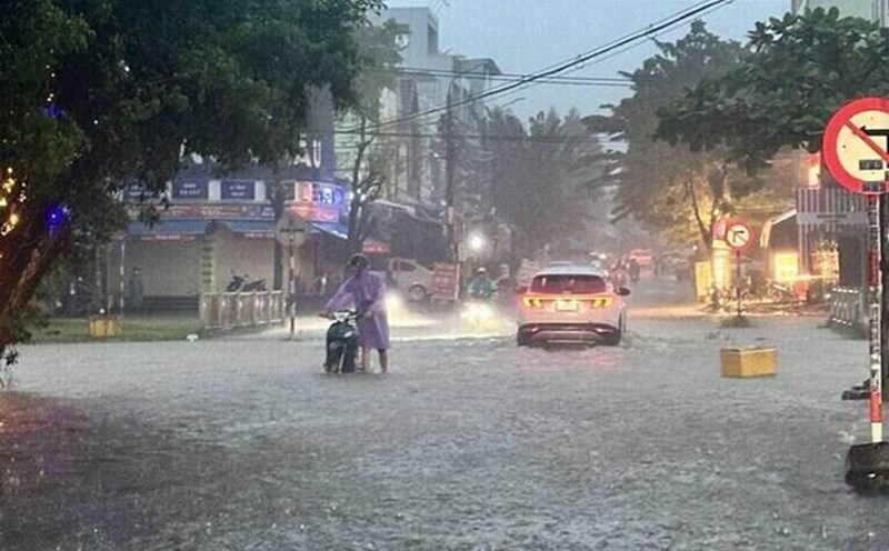
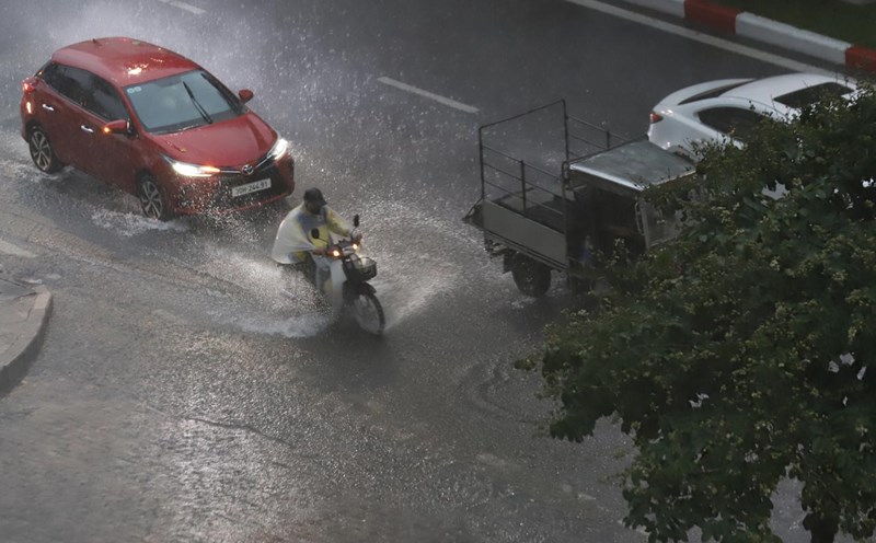
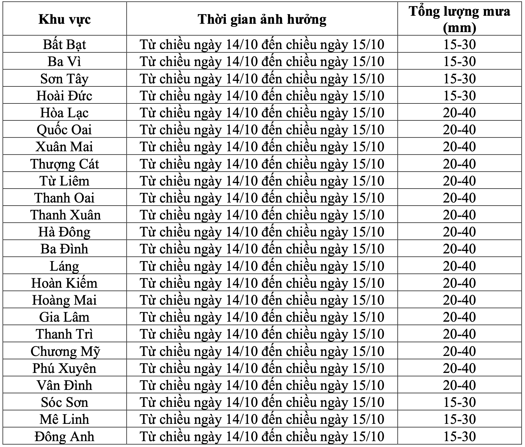
Due to the influence of the easterly wind zone developing to an altitude of about 5,000m, gradually weakening, from the afternoon of October 14 to the afternoon of October 15, Hanoi city will have moderate rain, some places have heavy rain and thunderstorms. During thunderstorms, there is a possibility of tornadoes, lightning and strong gusts of wind. The common rainfall is 15 - 40mm, in some places over 50mm.
On the night of October 15 - early morning of October 16, Hanoi will have scattered showers and thunderstorms in some places.
On the night of October 16 - early morning of October 17, Hanoi will have scattered showers and thunderstorms.
The warning level of natural disaster risk due to heavy rain is level 1. During thunderstorms, there may be tornadoes, lightning, strong gusts of wind, causing trees to fall, damaging houses, traffic works and infrastructure.
moderate rain and heavy rain in a short period of time can overload the urban drainage system, causing flooding in residential areas and low-lying areas, obstructing traffic due to flooding, reducing visibility, slippery and posing a potential risk of traffic accidents.
High-intensity rain in a short period of time can cause landslides in mountainous areas, where the terrain is steep.