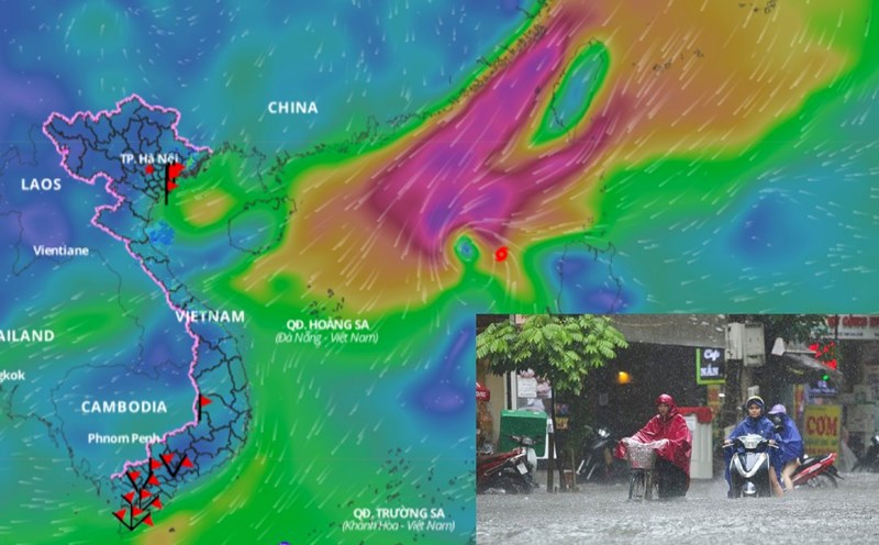
Updated the latest news released at 4:40 p.m. from the National Center for Hydro-Meteorological Forecasting, through monitoring on satellite images, lightning positioning data and weather radar images, convective clouds are developing in Hoa Binh province. This cloud area continues to develop and move towards Hanoi city.
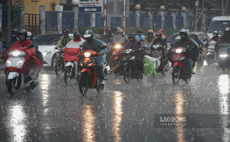
In the next 45 minutes to 3 hours, the areas of Nam Tu Liem, Bac Tu Liem, Ha Dong, Thanh Xuan districts... will have rain, showers and thunderstorms. The thunderstorm area may expand to other districts in the center of Hanoi city. During thunderstorms, there is a possibility of tornadoes, lightning and strong gusts of wind.
In the past hour (from 3:00 p.m. to 4:00 p.m. on June 3), Hoa Binh province has had rain, some places have had moderate to heavy rain.
In the next 3 - 6 hours, Hoa Binh province will continue to have rain with common accumulated rainfall from 20 - 40mm, some places over 70mm.
In the next 6 hours, there is a risk of flash floods on small rivers and streams, landslides on steep slopes in Hoa Binh province, especially in the districts of Cao Phong, Da Bac, Kim Boi, Lac Son, Lac Thuy, Luong Son, Tan Lac, Hoa Binh city, Yen Thuy.
The warning level of natural disaster risk due to flash floods, landslides, and land subsidence due to heavy rain or water flow is level 1.
Flash floods and landslides can have a very negative impact on the environment, threatening people's lives; causing local traffic congestion, affecting the movement of vehicles; civil and economic works, causing damage to production activities and socio-economic activities.
The meteorological agency recommends that local authorities pay attention to reviewing bottlenecks and vulnerable locations in the area to take preventive and response measures.