According to the news issued at 3:30 p.m. on August 26, the water level on the rivers in Hanoi is rising rapidly. Notably, at 3:00 p.m., the water level of the Tich River at Vinh Phuc station was 7.28 m, 0.08 m above alert level (BD). 2 hours before, at Ba Tha station (Day river), the measured water level was 4.37m (1.13m from BD1) and at Yen Duyet station (Bui river) was 6m, just reaching BD1.
The meteorological agency forecasts that in the next 12-24 hours, floods on these rivers will continue to rise. During this flood, the flood peak on the Tich River is likely to exceed level 3, the Bui River is likely to reach level 3 and the Day River is likely to reach level 1. This is a high flood level, with the risk of causing serious impacts.
Warning of the associated risk, high-altitude floods can cause flooding in low-lying areas along rivers with a common depth of 0.1-0.5m, some places are flooded deeper and the flooding time can last from 1 to 3 days. At the same time, people need to be on guard against high risks of landslides and erosion of land on riverbanks and the risk of unsafety for dykes.
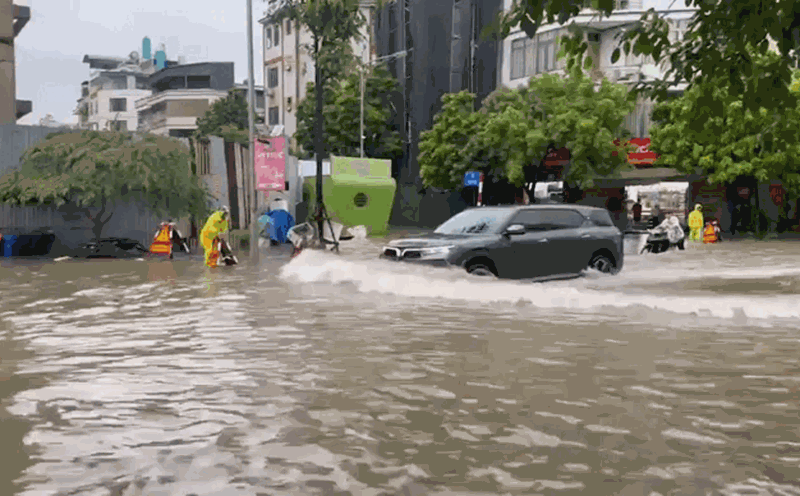
Not only in the riverside area, due to the impact of heavy rain, many urban areas and inner-city streets of Hanoi are also facing the risk of flooding. The flooding depth is forecast to be from 0.2 - 0.4m, in some places over 0.5m; the flooding time can last from 1 to 3 hours.
Low-lying areas along the Tich River in Ba Vi, Thach That, Phuc Tho, Quoc Oai, Chuong My districts... are warned of a high risk of flooding. Floods, inundation and landslides are forecast to seriously affect people's lives, daily life and transportation, as well as industrial parks, aquaculture and agricultural production areas in the area.
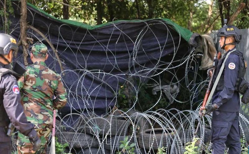
The risk level of natural disasters due to floods is determined at Level 1. People and local authorities need to closely monitor the next reports and proactively take preventive measures.