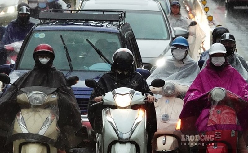
On December 6, the weather in the North changed due to the impact of cold air causing scattered rain. The cold air mass is considered to be different in nature from previous ones. Mr. Nguyen Van Huong - Head of Weather Forecasting Department, National Center for Hydro-Meteorological Forecasting provided forecast information about this northeast monsoon.

Sir, how intense is the cold air mass affecting the weather in the North?
- This evening and tonight, December 6, cold air will continue to affect the North with weak intensity. From December 7, cold air will be strengthened, continuing to affect the Northwest, North Central, Central Central and some places in the South Central.
With the intensity increasing from December 7, what is the specific impact forecast of the cold air on the weather in the North and Central regions, sir?
- Due to the influence of cold air, from the night of December 6 to the night of December 7, there will be scattered rain in the North, but the rain will not be heavy. Rain combined with strong northeast winds will make the North cold from December 7.
During this cold spell, the average temperature in the North is likely to drop below 20 degrees Celsius.
In the Central provinces, especially the North Central and Central Central regions, there will be rain, showers, and locally heavy rain and thunderstorms. Thunderstorms may include tornadoes, lightning, and strong gusts of wind.
The average temperature in the area from Thanh Hoa to Thua Thien Hue is also likely to drop below 23 degrees Celsius. From the night of December 7, the North Central region is also likely to turn cold.
How will Hanoi's weather change under the impact of cold air and what is the most notable feature of this cold spell, sir?
- This cold air mass will affect the Hanoi area and cause the temperature from December 7 to drop below 20 degrees Celsius, turning cold.
People going out will need to bring warm clothes and scarves to keep their bodies warm. The most notable feature of this cold spell is that it will be cold both day and night, not just cold at night like the recent cold spells.
So with such strong intensity, what is the forecast for the sea weather in the coming days, sir?
- Regarding sea weather, Gulf of Tonkin from the night of December 6, the east to northeast wind will be strong at level 4 - 5; from the afternoon and night of December 7, the northeast wind will gradually increase to level 6, gusting to level 7 - 8, rough seas; waves will be 1.5 - 3m high.
From the evening of December 7, the sea area from Quang Tri to Quang Ngai has strong northeast winds of level 6, gusting to level 7-8, rough seas; waves 2-4m high.
On the night of December 6, the eastern sea area of the North East Sea has strong northeast winds of level 6 - 7, gusting to level 8 - 9; rough seas; waves 2 - 4m high.
From December 7, the North East Sea area (including Hoang Sa archipelago) will have strong northeast winds of level 6 - 7, gusting to level 8 - 9; rough seas; waves 3 - 5m high.
Thank you very much!


