On February 5, the Ministry of Agriculture and Environment held a regular press conference to provide information on the production situation of the agricultural and environmental sectors.
At the press conference, Mr. Hoang Duc Cuong - Deputy Director of the Hydrometeorological Department (Ministry of Agriculture and Environment) informed about the storm near the East Sea. Accordingly, storm No. 2 of the Northwest Pacific region is currently operating with an intensity of about level 8, nearly 1,000 km from the East Sea. However, when moving into the East Sea, this storm may weaken.

It is expected that in the next 48 hours, this system is likely to move west towards the East Sea. When entering the East Sea, it is likely that this storm will only be a tropical depression or a low pressure area. Immediately after about a day of activity in the East Sea, this system may weaken and dissipate because the East Sea is currently blocked by cold air," Mr. Hoang Duc Cuong informed.
The Deputy Director of the Department of Meteorology and Hydrology also provided more information about the forecast of the number of storms/tropical depressions in 2026. Accordingly, the number of storms/tropical depressions affecting the mainland of our country may be less than the multi-year average. "This year's storm season will basically be lighter than in 2025," Mr. Cuong said.
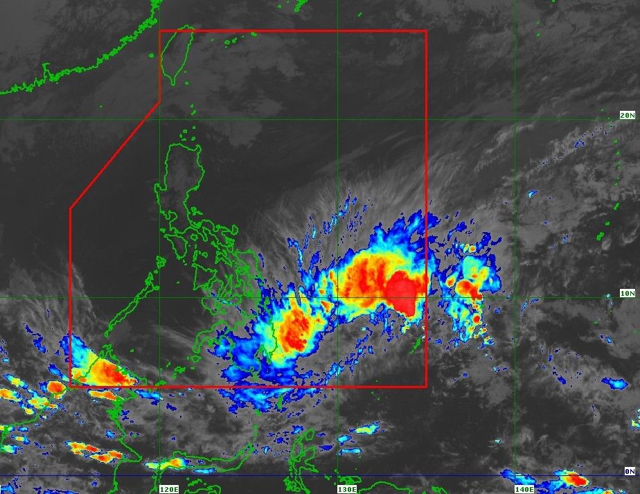
Previously, the Philippine Atmospheric, Geophysical and Astronomical Services Administration (PAGASA) forecast that Typhoon Basyang was forecast to make its first landfall in eastern Mindanao from the evening of February 5 to the early morning of February 6, then cross Mindanao, Central and Western Visayas, reach the Sulu Sea on February 7 and enter the East Sea on February 8.


