There are only two weeks left until the start of the Atlantic hurricane season. The storm season runs from June 1 to November 30.
According to forecasters, there are many factors that help determine the development of the storm season, but there are 2 important indicators that are tending to make more and stronger storms: The Gulf of Mexico has recently warmed up due to the hot air mass while the Pacific Ocean is getting colder.
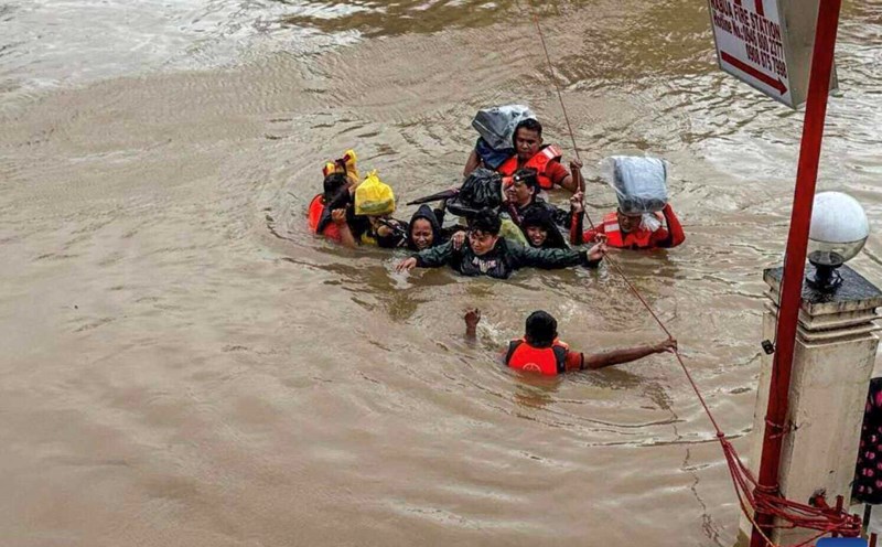
The recent heat wave at the beginning of the season has caused sea temperatures in the Gulf of Mexico and the Caribbean Sea to increase above average. Warming waters in the Gulf of Mexico and the Caribbean Sea could trigger a storm.
Meanwhile, cooler ocean waters in the Pacific Ocean could make winds more favorable for hurricane development in the Atlantic. Strong winds in the equatorial Pacific Ocean make the cooler ocean waters from below pushed up, creating a slight change in the direction of La Nina. La Nina phenomena often intensify Atlantic hurricane activity.
While it is uncertain whether the recent strong winds will continue and reach a peak of a complete La Nina phenomenon by the end of this year, the latest trend shows that the possibility is low.
On average, the Atlantic hurricane season has 14 named storms, including seven hurricanes and three Category 3 or higher.
The first named storm typically formed on June 20, but the past 10 seasons have seen at least one storm form early before that date. The number one storm of the 2025 hurricane season will be named Andrea.
The seasonal storm forecast predicts that this year's storm season may have more storms than usual but less than the 2024 storm season.
After the rapid warming of the ocean floor near South America earlier this year, La Nina was declared over and an ENSO neutral phase emerged in the Pacific.
But now, the water in the equatorial Pacific is gradually cooling, something most climate models argue is impossible.
While this cooling phenomenon does not necessarily mean a new La Nina, it could promote the Atlantic hurricane season later this year, the Washington Post weather report stressed.
The cool water in the Pacific means the region has few favorable conditions for thunderstorms. When thunderstorms form, their outflows into the Atlantic Ocean, making it difficult for them to form and strengthen here. But if there are fewer thunderstorms in the Pacific Ocean because the ocean waters are cooler, there will be no obstacles to storm formation in the Atlantic.