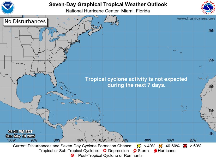
Although the Atlantic hurricane season officially began on June 1, the US National Hurricane Center (NHC) has proactively issued tropical storm forecasts two weeks earlier than usual, starting on May 15.
The move may surprise many, but history shows that storms don't always follow... the schedule.
Since 1851, a total of 32 named tropical or subtropical storms have formed in May in the Atlantic. Of these, four have strengthened into major storms - rare but not uncommon.
May storms were recorded: Named storms in May 1889; Named storms in May 1908; Hurricane Able in May51 (the first named storm to appear in May) and Hurricane Alma in May 1970).
May is still too early for hurricanes in most of the Atlantic. Sea temperatures are still low, while wind shear is often strong - two main factors that make it difficult for cyclones to form and develop.
However, areas such as the Gulf of Mexico and the western Atlantic often warm up earlier, creating ideal conditions for early-season storm systems. These are the "hot spots" for storms that need attention from mid-May.
The NHC said the decision to start tracking in mid-May was not the result of anxiety, but a data-based response. "The weather is not waiting for a schedule. We cant wait either, a meteorologist said.
In fact, there have been proposals to change the official start date for the Atlantic hurricane season to mid-May, but instead, the agency has chosen to issue an early warning bulletin - a move that is considered more practical and appropriate.
This year, meteorologists predict that the 2025 storm season could be active due to the La Nina phenomenon and unusually warm sea temperatures. Early tracking shows that meteorological authorities are highly vigilant ahead of a potential unpredictable hurricane season.
Regarding storms in the East Sea, the Vietnam National Center for Hydro-Meteorological Forecasting said that it is forecasted that in 2025, the East Sea may welcome 11-13 storms, of which 5-6 will directly affect the mainland, the risk of strong storms of level 12 or higher is still high.
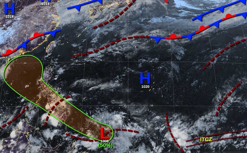
The typhoon season in the South China Sea is usually considered to start in June, but there is currently at least one major model predicting that there will be storms entering the South China Sea before the end of May.
The US GFS model ( Global Forecast System) predicts that a tropical depression will appear in the East Sea around May 24. The low pressure is forecast to strengthen into a storm around May 26. If this forecast is correct, this will be the number 1 storm of the 2025 storm season in the East Sea.
However, the model of the European Center for mid-range weather forecasts (ECMWF) only predicts that there will be a low pressure or tropical depression in the East Sea during the above period.