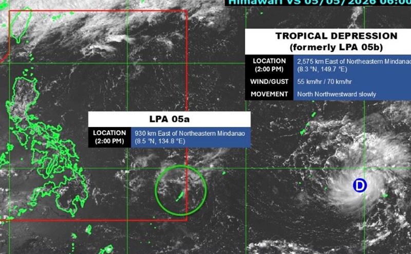
The latest storm news on the morning of May 7 from the Philippine Atmospheric, Geophysical and Astronomical Services Administration (PAGASA) said that tropical storm Hagupit is moving westward over the waters south of Guam Island and may enter the Philippine Area of Responsibility (PAR) this weekend.
In the morning bulletin, PAGASA said that the storm's eye is about 1,995km east of the northeast of Mindanao Island.
The latest storm is moving westward at a speed of 20 km/h. The strongest wind near the storm center reaches 65 km/h, gusting up to 80 km/h.
Hagupit will continue to move westward in the next 6 hours, then gradually move west-northwest in the remainder of the forecast period. The storm may enter PAR from the evening of May 9 to the morning of May 10 and will be named Caloy locally" - PAGASA's storm bulletin stated.
According to the Philippine weather agency, Hagupit may continue to strengthen and reach the level of a strong tropical storm. However, the storm will begin to weaken and is likely to degrade to a tropical depression on May 12 when operating in Philippine waters.
PAGASA said that the possibility of Hagupit directly affecting the weather and sea situation in the Philippines in the next 3 days is not high.
In addition to Typhoon Hagupit, the agency also said that a low pressure area is continuing to approach the eastern Hinatuan area, Surigao del Sur province, but is not yet forecast to strengthen into a tropical depression.
However, this low pressure area is forecast to cause scattered rain and thunderstorms for the Central Visayas, Eastern Visayas, Negros Islands, Caraga, Northern Mindanao, Davao and Zamboanga Peninsula areas.
The capital Manila and the rest of the Philippines are expected to have variable to cloudy skies, accompanied by scattered showers or thunderstorms.
PAGASA warns of the risk of flash floods or landslides due to moderate rain, sometimes heavy rain related to low pressure areas as well as strong thunderstorms caused by easterly winds.