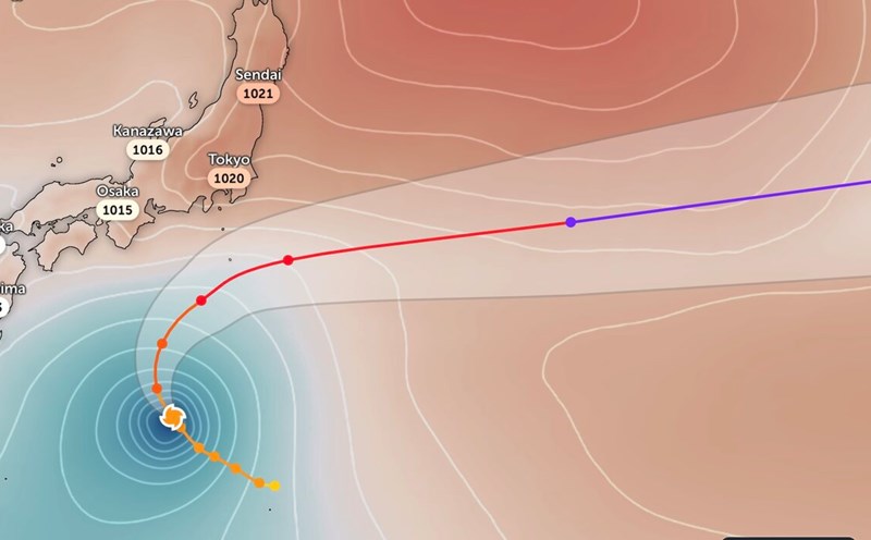
The latest hurricane report from the US National Hurricane Center says Hurricane Jerry is about 973km east-southeast of the northern Leeward Islands.
Maximum sustained winds near the center of the storm are 96 km/h and the storm is moving west-northwest at a speed of 37 km/h.
Jerry is forecast to continue moving west-northwest over the next few days, heading north or just north of the Leeward Islands in the Caribbean Sea.
When it reaches the Leeward Islands, Jerry is forecast to become a typhoon on October 9, with winds of 119-145 km/h.
The storm's eye will be near or north of the northern Leeward Islands late on October 9 and October 10, according to the warning bulletin.
Although the storm may pass north of the archipelago, there is still a risk of strong winds, big waves and heavy rain.
Tropical storm warnings have come into effect for Antigua, Barbuda, Anguilla, St. Petersburg. Kitts, Nevis and Montserrat, St. Barthhelemy, St. Martin, Saba and St.Eustatius, Guadeloupe and neighboring islands.
Forecasters say Jerry is expected to turn north toward Bermuda later this weekend, then northeast. systems are set to become a Category 2 hurricane as they move across the Atlantic.
As Jerry approaches Bermuda, large waves moving out of the storm could cause large waves and dangerous receding water along the east coast of the United States and Canada.
Forecasters say 50-100mm of rain is expected across the Leeward Islands from 9 October to 10 October due to the impact of storm Jerry.
The large waves generated by storm Jerry are expected to overfloat the Leeward and Windward Islands on October 9, then spread west towards the Greater Antilles on October 10.
In addition to storm Jerry, a trough has moved into Campeche Bay. There is a possibility of some tropical developments in the southwestern Gulf of Mexico in the 1 or 2 days before moving through Mexico.
Scattered showers and thunderstorms only have a short time to develop, so the possibility of tropical depression formation is low.