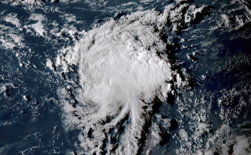
The latest hurricane report from the US National Hurricane Center says Juliette continues to strengthen. The latest images tracked by US hurricane forecasters show the storm forming an inner core and rising cloud bands south of the center.
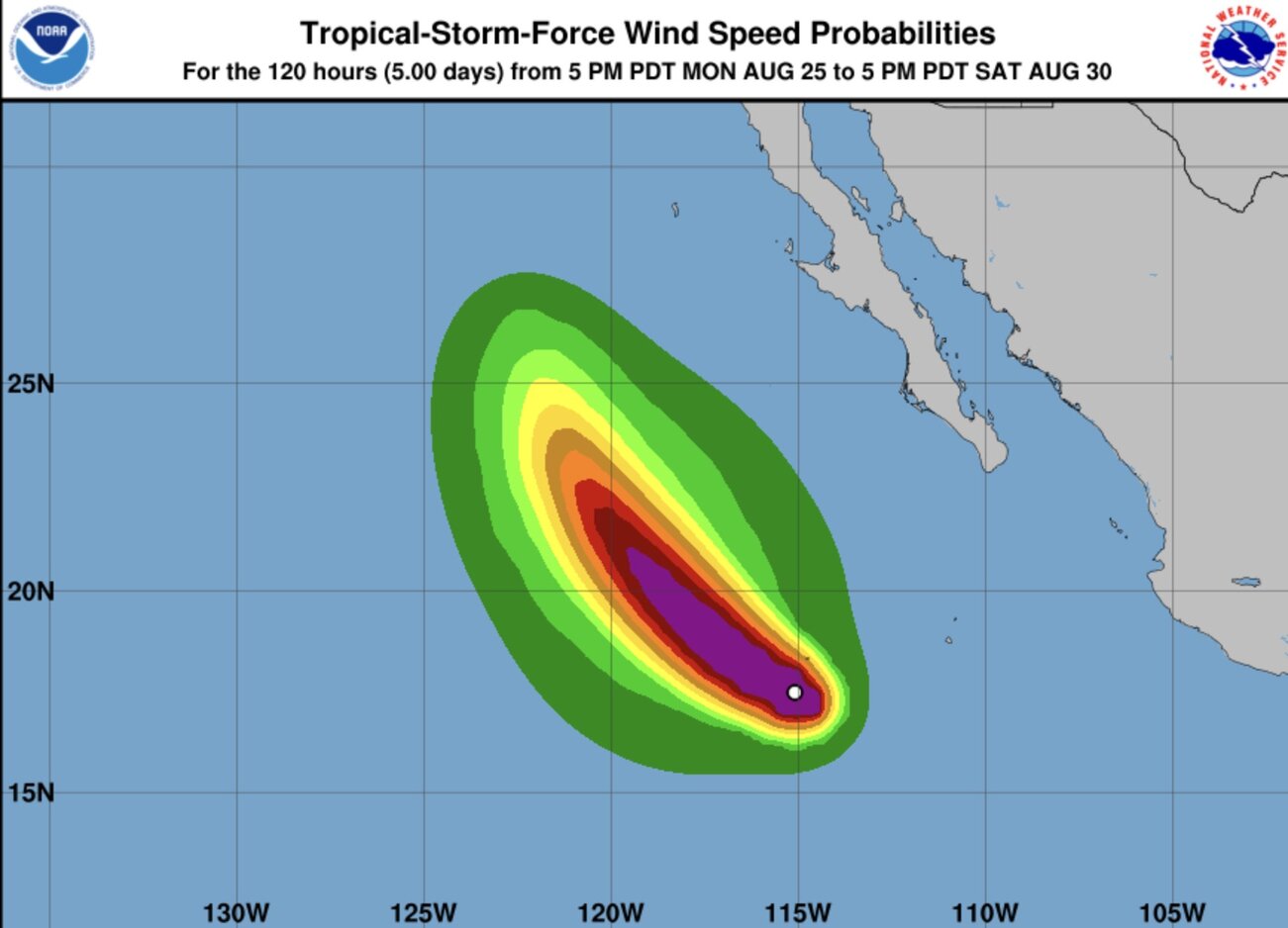
Typhoon Juliette is forecast to maintain favorable conditions to strengthen further in the coming hours and is likely to become a typhoon on August 26.
However, the trend of Juliette strengthening is likely to end on the night of August 26 as the storm moves into a dry air environment with stronger wind shear.
US weather forecasters say that Julyette will become a depression for about 3 days and completely dissipate this weekend.
Tropical Storm Juliette formed on August 25 in the Pacific Ocean, hundreds of kilometers from Mexico's Baja California peninsula. Juliette poses no immediate threat to land.
The National Hurricane Center's weather forecasters are also monitoring a depression near Juliette. This low pressure is predicted to have a 20% chance of strengthening over the next 7 days.
Typhoon No. 10 of the eastern Pacific basin Juliette formed in the context of Typhoon Fernand gathering in the Atlantic basin.
Hurricane Fernand is a storm that formed right after Hurricane Erin - the first hurricane of this year's Atlantic hurricane season. Fernand formed on 22 August but is also very far from land and is forecast to continue to remain in the sea.
Fernand is forecast to turn more northeast as it moves out of Bermuda. Forecasters said the storm will begin to weaken and could become a tropical depression on August 27 and dissipate on August 28.
Hurricanes form in the tropics, above the warm ocean waters. Thunderstorms may form in the ocean as sea temperatures exceed 26 degrees Celsius. If conditions are favorable, these storm clusters will strengthen into low pressure or tropical depressions.
The tropical depression became a tropical storm when sustained winds reached 69 km/h. When winds reach 110 km/h, the storm officially became a typhoon.