The latest storm news on September 1 from the US National Hurricane Center in Miami said that Hurricane Kiko formed in the eastern Pacific Ocean, more than 1,000km from the coast of Mexico since early morning on August 31.
Forecasters at the US National Hurricane Center say Kiko could develop into a hurricane this week.
"The system is expected to strengthen over the next few days and is expected to strengthen into a typhoon on September 2," the center's typhoon bulletin said.
The center of Kiko is about 1,680km west-southwest of the southern tip of Baja California.
The maximum sustained wind speed of Kiko is 65 km/h. The storm is moving at a speed of 15 km/h.
The tropical storm has winds ranging from about 63 km/h to 117 km/h. The storm will become a typhoon when winds reach about 119 km/h. A typhoon is considered a major storm if the wind speed exceeds 177 km/h.
Kiko is the 11th named storm in the northeastern Pacific this year.
The storm does not pose any threat to landfall.
US weather forecasters have not issued any coastal warnings or monitoring regarding Hurricane Kiko.
So far, Tropical Storm Chantal - a storm that formed in the Atlantic basin - is the only storm to hit the United States, causing deadly flooding in North Carolina in early July. In June, Barry made landfall on the east coast of Mexico as a tropical depression.
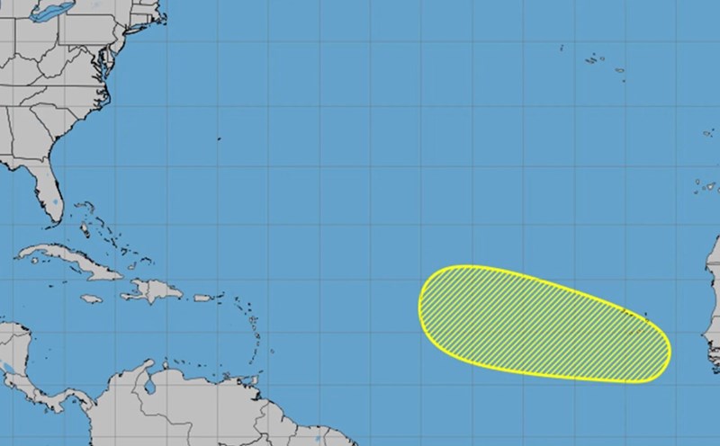
In addition to Hurricane Kiko, forecasters are also monitoring a low pressure area in southern Mexico. The system has a 50% chance of developing into a tropical depression or tropical storm in the next 2 days and an 80% chance of strengthening in the next 7 days.