The latest storm news from the Washington Post said that the sea area west of Peru and Ecuador suddenly warmed up much above the average in early 2025. With this development, the possibility of a La Nina-led severe storm season is unlikely. However, the situation has reversed, just weeks before the Atlantic hurricane season begins.
Shortly after the National Oceanic and Atmospheric Administration (NOAA) declared the La Nina phenomenon end, strong winds stirred up cool water from below. And the process took place quickly.
If this trend continues, it could promote the return of La Nina-like weather conditions in the Pacific Ocean later this year. At that time, Atlantic winds will favor storm formation during the June-November hurricane season.
However, hurricane experts point out that there is still much uncertainty about the impact of the drop in sea temperatures at what extent as temperatures in the Atlantic Ocean have also dropped significantly.
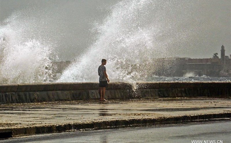
The ocean waters in the Atlantic Development Area a stretch stretching from western Africa to the Caribbean, which is considered a hurricane-prone area are significantly cooler than in the same period last year, meaning less fuel for hurricane formation.
With the current situation, the Washington Post points out, there is a chance that factors will balance to some extent, creating an average hurricane season. It is also likely that one of these two factors will prevail, affecting the hurricane season more. The results will be clearer in the coming months.
Early season hurricane forecasts show that the 2025 Atlantic hurricane season may not be as intense as last year, but there will still be moderate to above-average storms.
As the hurricane season approaches, forecasters are closely monitoring temperature fluctuations in the Pacific Ocean. The temperature here is not only significant for the storm season, but also for predicting temperatures in the Northern Hemisphere as summer approaches.
Although far from the Atlantic hurricane formation, the tropical Pacific Ocean has a strong influence on weather patterns in the Atlantic and globally.
Meteorologist Andy Hazelton said that cooler sea waters in the eastern Pacific will reduce the likelihood of an El Nino forming and affecting this year's hurricane season.
It seems we will maintain a neutral state, similar to the La Nina phenomenon, with lower wind shear in the Atlantic, he said. Atlantic wind shear tends to decrease during the La Nina and neutral periods.
The main development area in the Atlantic is where most of the storms in this basin form. Warmer ocean temperatures in the region have been linked to more typhoons.
This important area is much cooler than the same period last year. Expert Hazelton noted that although there is still time for the area to warm up, the cooler air is seen as a key factor preventing this year's hurricane season from being as strong as last year's.