The latest typhoon information from PAGASA on May 1 said that there are forecasts of 1 to 2 typhoons forming in the Philippine Forecast Area (PAR) in May.
PAGASA weather expert Benison Estareja stated this information in his regular weather forecast.
"We predict the likelihood of more typhoons will increase as we are entering the rainy season, also known as the typhoon season," he said.
The PAGASA forecaster added: "This year, in May 2025, we are expecting one or two tropical storms. The first storm will be named Auring, followed by Bising.
Currently, there are two weather systems affecting the Philippines: the Intertropical Convergence Zone (ITCZ) affecting Palawan and Mindanao; and the easterly wind affecting the rest of the Philippines.
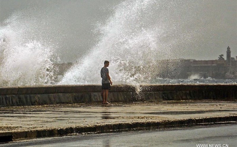
People in Palawan and Mindanao have been specifically warned of the possibility of flash floods or landslides due to moderate to heavy rains caused by the tropical convergence zone.
The rest of the Philippines, including Metro Manila, will experience cloudy skies with scattered showers or thunderstorms due to the winter wind.
"Warm winds from the east continue to blow over the rest of Luzon and the Visayas and scattered showers are still forecast, especially in eastern Visayas," Estareja said.
In addition to these weather systems, Philippine weather experts are also monitoring cloud clusters: One cloud cluster near the Philippine border and one cluster near Mindanao, outside the Philippine forecast area.
"Cloud clusters in the area along the boundary can develop into a low pressure area in the next 24 hours or until the morning of 2.5. This low pressure is expected to rain for many other areas in the Philippines, especially in South Luzon and Visayas until the weekend. Therefore, we will continue to monitor the development here," said weather experts Pagasa.
Although the above cloud clusters are unlikely to strengthen into tropical depressions, forecasters believe that there is still a possibility of rain and landslides in many places in the Philippines.
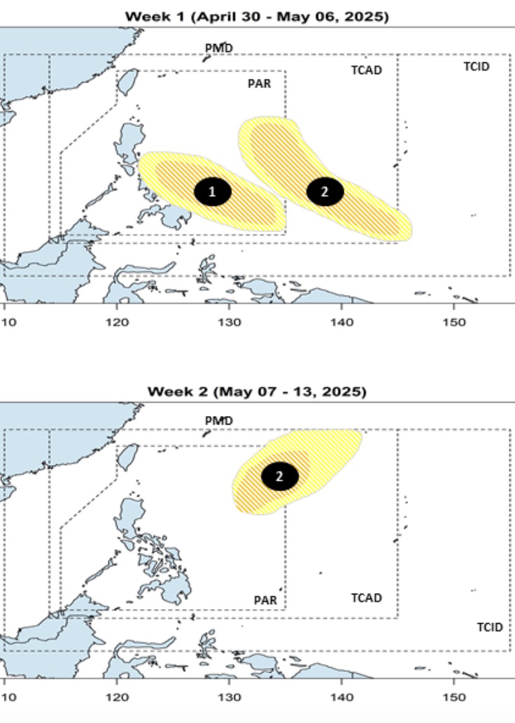
Previously, PAGASA's storm and low pressure information on April 30 said that the low pressure is likely to strengthen into a storm in the first half of May. Forecast models show that during the week of April 30 to May 6, two low pressure areas near the East Sea are forecast to form in a row in the PAGASA PMD forecast area.
The first low pressure is likely to form in the southern part of the Philippine Forecast Area (PAR). The low pressure is expected to strengthen into a low to moderate storm.
The second low pressure near the South China Sea is expected to form in the southeastern boundary of PAGASA's TCAD forecast area during the week of April 30 to May 6.
This second low pressure forecast near the East Sea is likely to strengthen into a storm and continue to affect the week of May 7 to May 13.