According to the US Geological Survey (USGS), the earthquake occurred in the early morning of May 23, at a depth of 68 km with the center located off the coast of Bengkulu province (Indonesia).
Meanwhile, the Indonesian Meteorological Agency determined the intensity of the earthquake to be 6.0 degrees richter and the center of the earthquake was 84 km deep, and confirmed that there was no risk of a Tsunami.
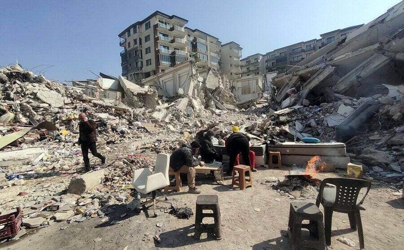
Mr. Abdul Muhari, a spokesman for the Indonesian National Disaster Reduction Agency (BNPB), said the earthquake damaged more than 100 homes and at least 6 public works in Bengkulu city, the capital of the province of the same name. In this city alone, 8 houses have completely collapsed and cannot be repaired. In Trung Bengkulu district, 2 houses were slightly damaged.
Mr. Abdul said that as of May 23, there were no reports of casualties caused by the earthquake.
Indonesia is a country that is prone to frequent earthquakes due to its location on the "Pacific Fire Ring Road" - an area with strong seismic activity, where the tectonic plates collide with each other, stretching from Japan, through Southeast Asia, to the entire Pacific basin.
In the past, Indonesia has suffered many serious earthquakes. The 6.2-magnitude earthquake on Sulawesi Island in January 2021 killed more than 100 people and left thousands homeless.
In 2018, a 7.5 Richter earthquake and Tsunami in Palu City, Sulawesi Island, claimed more than 2,200 lives.
The biggest disaster occurred in 2004 when a 9.1-magnitude earthquake in Aceh province caused a song than, killing more than 170,000 people in Indonesia.