The Philippine Atmospheric, Geophysical and Astronomical Services Administration (PAGASA) said it is monitoring cloud formations outside the Philippine forecast area (PAR) that could develop into a low pressure area within the next 24 to 48 hours.
PAGASA weather forecaster Ana Clauren-Jorda said the low pressure area, when formed, could affect parts of Mindanao.
Based on PAGASA's forecast, the cloud clusters are likely to develop into a low pressure area in the coming days. The low pressure area has a "moderate chance" of developing into a typhoon, Clauren-Jorda said.
Meanwhile, Clauren-Jorda noted, the shear, or convergence of cold and warm winds, continues to affect northern Luzon, bringing cloudy skies with light to moderate rain in some parts of Quezon and Bicol.
The northeast monsoon continues to affect the rest of Luzon while some parts of Cagayan Valley, Aurora and Cordillera Administrative Region experience cloudy skies with light to moderate rains.
According to the Joint Typhoon Warning Center (JTWC), there is currently a low pressure area Invest 96W (east southeast of Palau) that continues to develop and organize. However, the circulation of the low pressure area is not clearly defined and this system only generates winds of about 15 to 20 knots.
Environmental conditions are expected to be favorable for further development of the system and a tropical depression is likely to form on December 16 or 17 as the system stalls off the east coast of Mindanao, Philippines.
The JTWC advised areas in Mindanao, Central Visayas and Eastern Visayas in the Philippines to continue monitoring the progress of this system. The JTWC assessed the 7-day chance of forming a low pressure area as high, at 90%.
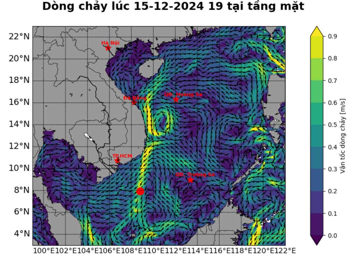
JTWC also issued a high wind warning for much of the northern South China Sea and the northwestern Spratly archipelago, coastal waters off Vietnam and Hainan (China).
Meanwhile, the Vietnam National Center for Hydro-Meteorological Forecasting warns that on the day and night of December 16: The sea area from Quang Tri to Ca Mau, the northern and central East Sea (including the Hoang Sa archipelago) will have northeast winds of level 6, sometimes level 7, gusting to level 8-9. The sea will be rough; waves will be 3-5m high, especially in the northern East Sea, waves will be 4-6m high.

The western sea area of the southern East Sea (including the western part of Truong Sa archipelago) has northeast wind level 6, gusting to level 7-8. Rough sea; waves 3-5m high. Disaster risk level due to strong winds at sea: level 2.


