Meteorologists at Colorado State University (CSU) predict that in the last two weeks of October, there is a 50% chance of above-normal hurricane activity in the Atlantic basin, a 40% chance of near-normal activity, and a 10% chance of below-normal activity.
There is a bright spot, however. The “normal” second half of October is typically less intense than late August to early October—the traditional peak of hurricane season. The sun’s angle is lower, cooling the water slightly, meaning less fuel for storms.
There are still warm patches of water in the Atlantic basin, though, and hurricane season lasts until late November.
CSU's forecast two weeks earlier proved accurate, predicting with "almost absolute certainty" that the season would see above-normal activity from October 1 to October 14. During this time, both Hurricanes Helene and Milton devastated Florida and the southeastern United States.
The first two weeks of October — with storms Milton, Kirk and Leslie — produced the third-largest accumulated eddy energy (ACE) in any two-week period, behind only 1893 and 2016.
To predict the next two weeks of hurricanes, meteorologists use ACE, the strength and longevity of hurricanes over a given period of time.
CSU compared the projected ACE for the last two weeks of October to the normal ACE from the same period every month from 1966-2023.
To predict ACE, they looked at current hurricanes, hurricane forecasts from the US National Hurricane Center (NHC), and several global models.
There is currently a low pressure system in the Atlantic that has a 60% chance of becoming a tropical storm as it heads toward the Caribbean. If the storm turns north, away from land, it could actually last longer and generate more ACEs.
Forecasters are also keeping an eye on another system in the western Caribbean, near Belize, with a 30 percent chance of developing. CSU says that system is likely to produce only a small ACE.
CSU also looked at the Madden-Julian Oscillation (MJO) — a weather pattern that moves around the planet, either promoting stormy weather or calm weather. In the second half of October, the MJO will be in the western Pacific, often weakening hurricane activity in the Atlantic.
But CSU said wind shear in the Caribbean is likely to be lower than normal over the next two weeks, which could enhance hurricane formation in the Caribbean.
Regarding storm forecasting in the East Sea, international weather forecast models (GFS of the US, ECMWF AI of Europe) are having complex forecasts about weather patterns causing heavy rain and the possibility of storms operating at the same time.
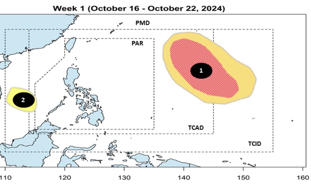
The Philippine Atmospheric, Geophysical and Astronomical Services Administration (PAGASA) said that during the week of October 16-22, 2024, a low pressure area near the South China Sea is expected to develop west of the Philippine Forecast Area (PAR). The low pressure area is unlikely to intensify.
From around October 25-26, the eastern Philippines and the East Sea are likely to experience tropical cyclones.