The Philippine Atmospheric, Geophysical and Astronomical Services Administration (PAGASA) said that after the cold air and recent rains, it is necessary to prepare for the warmer and drier months ahead.
Speaking to ABS-CBN News on March 3, PAGASA Head of Weather Forecasting and Climate Monitoring Ana Liza Solis noted that the northeast monsoon is about to end.
Based on historical and monitoring data from PAGASA, the northeast monsoon typically ends in the middle or third week of March. Then there are many months of warm and dry weather.
Historically, the northeast monsoon ends the earliest in the first week of March 2016, which is also the time when a strong El Nino is occurring.
PAGASA noted that 2024 is the hottest year in the Philippines, a year in which experts recorded a strong El Nino phenomenon and record temperatures. The temperature is not expected to be as high in 2025.
"Currently, we don't see this year as hot as last year. But because the weather is warm and dry, it will still be hot. The northeast monsoon is still present. In addition, rainy storms and La Nina warnings are still in place. This means there is still a possibility of light rain," Solis said.
April and May are forecast to be the hottest months, with the highest temperature forecast to be 39 degrees in Northern Luzon, she added. In Metro Manila, the highest temperature in April and May is forecast to be 37 degrees.
The World Meteorological Organization previously confirmed that 2024 was the hottest year on record and 1.55 degrees Celsius above the average of the pre-industrial period (1850-1900).
2024 is also the hottest year in the Philippines since the data began tracking in 1951.
Global temperatures in February 2025 are the third hottest month on record - 1.59 degrees Celsius above pre-industrial average, according to climate researcher Zeke Hausfather. She calculated the results using data from the European Union (EU) Copernicus Climate Change Service.
The first and second hottest February months will come in 2024 and 2016, both years marked by strong El Nino warming periods in the Pacific.
Despite the current lack of El Nino and a weak La Nina since December, February is still quite hot.
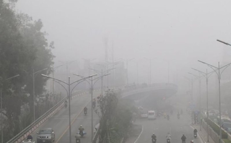
Meanwhile, the Vietnam National Center for Hydro-Meteorological Forecasting said that on March 5, the cold air approached the Vietnamese border.
From the night of March 5, the North and North Central regions will turn cold, with some places in the North experiencing severe cold; from March 6, the mountainous areas in the Northeast will be very cold, with some places experiencing severe cold.
From around the night of March 6, the area from Quang Binh to Hue will turn cold. The lowest temperature in this cold air mass in the North is generally from 12-15 degrees, in high mountainous areas below 8 degrees; in the North Central region, it is generally 14-17 degrees; from Quang Binh to Hue, it is generally 17-20 degrees.
Hanoi area: from early morning on March 6, the weather will turn cold. The lowest temperature in this cold air mass is generally 13-15 degrees.