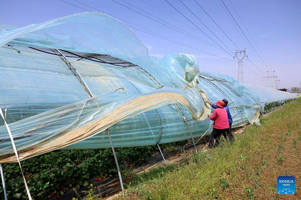
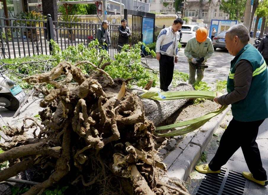
Xinhua reported that on April 13, the National Meteorological Center of China continued to issue an orange warning - the second dangerous level in the four -level weather forecast system - for extremist strong winds in the North of this country.
From 8 am 13.4 (local time) to 8 am 14.4, the breeze level 11 (102-117 km/h) is expected to attack a series of areas, including Noi Mong Autonomous Region, Son Tay, Ha Bac provinces and Beijing capital.

Not only on the mainland, strong winds of level 13 (133-149 km/h) will also sweep key waters such as beaver, Hoang Hai and East China Sea, causing maritime traffic and fishing exploitation in these areas to have many serious risks.

Sand storms continue, threatening public health and the natural environment in many localities, according to the green warning also extended on the morning of April 13.
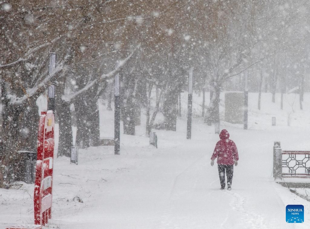
At the same time, snowstorms are expected to pour down the areas of Mongolia, Cat Lam Province (Northeast) and Thanh Hai Province (Northwest). Earlier, this area had to face a yellow warning, which is now reduced to green.

The weather warning system in China consists of 4 levels: red is the most serious, followed by oranges, yellow and green. The continuous maintenance of orange and green warnings at the same time shows the complexity and harshness of this weather form.
This is an extraordinary strong cold air in April, showing that the trend of climate change is clearly affecting China - the country that often faces extreme weather phenomena.

People are recommended to limit out, enhance health protection and prevent accidents due to strong winds, especially in high -rise buildings and mountainous areas.


