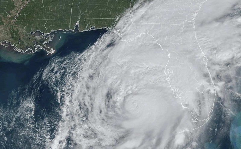
While global weather forecasters expect a MJO to require a major tropical cyclone of the month, the reality shows a complex picture: weak MJO, uncertain movement and a series of other fluctuations. This signals a period of unstable and unpredictable weather in the tropics.
MJO is a large-scale atmospheric fluctuation in the tropics, affecting the weather for 30 to 60 days, sometimes up to 90 days.
The National Oceanic and Atmospheric Administration (NOAA) said that after the MJO moved into the western Pacific Ocean in March, expectations for a typical series of fluctuations have not come true. Traditional MJO parenthesies were broken by the impact of strong equatorial Kelvin waves and two slow-moving reactions in the eastern Pacific and the Indonesian archipelago.
As the MJO gradually spreads to the Western Hemisphere, some tropical weather models are expected to become active in late April, with the possibility of a strong MJO for the 23-29 week.
Regarding storm forecasts, there were no tropical cyclones forming last week. However, probability forecast tools continue to point to the possibility of a cyclone forming in the unusually low-level westerly wind zone, concentrated in the East Timor sea area during the week of 16-22.4.
Also during the week of 16-22.4, a 20% probability of storm formation is given for two areas: northern Australia - southern Pacific and southern Indian Ocean, where there are clear signals of low pressure forming.
The week of April 23-29 will be the " Quietest" period of the year for global storms. However, there is still a 20% probability for the northern Australia - South Pacific due to the sustained convection signal. A similar scenario in the northwest Pacific with wind shear environment is unfavorable for storms.
Extreme weather is forecast, with unusually hot weather in South Asia, and surprisingly cool weather in Hawaii. Combined models show above-average temperatures in Afghanistan, Pakistan and northwest India - where daytime temperatures could exceed 38 degrees Celsius for the week of April 16-22. Meanwhile, Hawaii and part of the western United States tend to cool, although still above the historical average.
For Vietnam, according to the National Center for Hydro-Meteorological Forecasting, from April 12, cold air will affect the Northeast, then expand to the Northwest, North Central and some places in the Central Central region. Northeast wind level 2-3, coastal areas level 3-4, gusting above level 6 in some places.
In the North, the temperature during this cold air mass will range from 16-19 degrees, in high mountainous areas below 13 degrees. North Central region from 17-20 degrees. Hanoi from the night of April 12 will turn cold, the night of April 13-14 will be cold, the lowest temperature will be 17-19 degrees.


