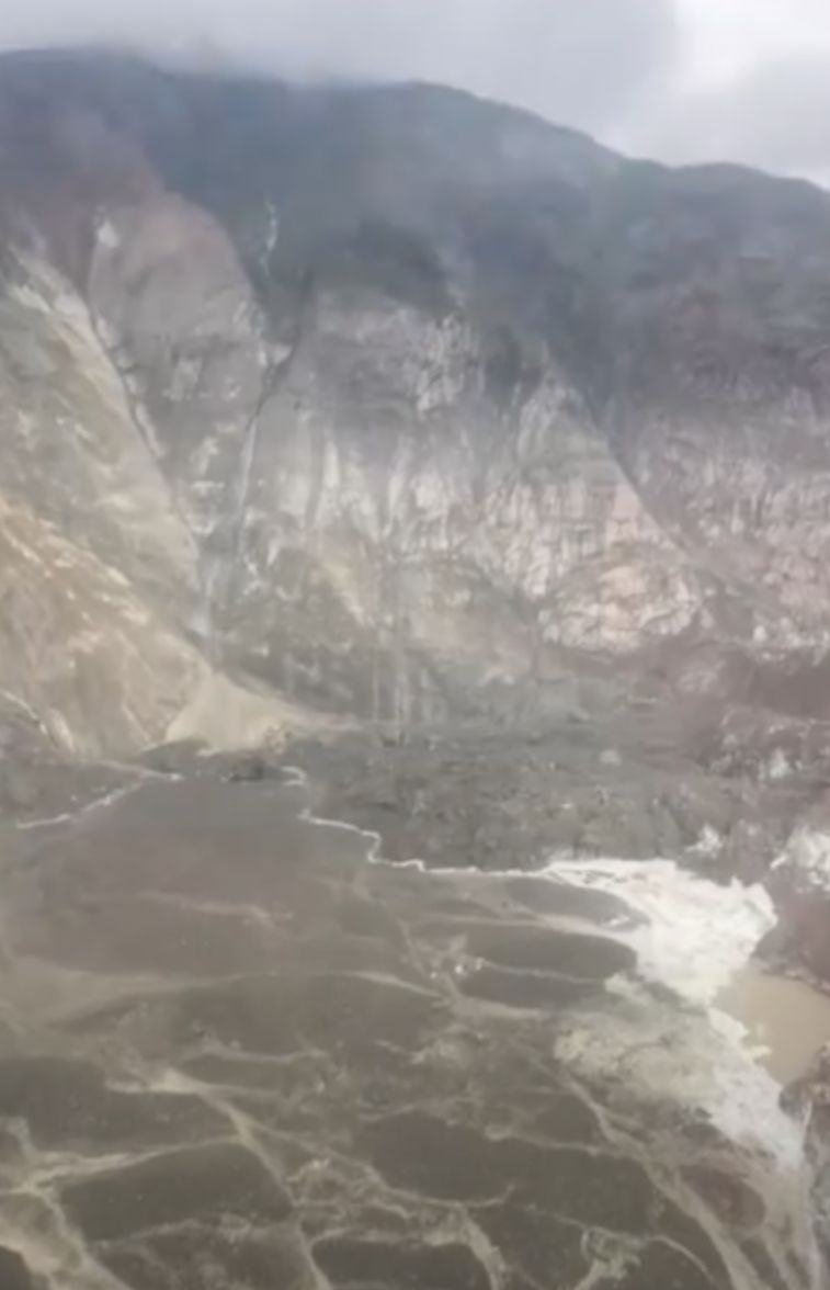
This is the largest landslide to cause Tsunamis in Alaska (USA) in at least the past 10 years, according to analysis by the Alaska Earthquake Center.
Scientists say the mass of rock and soil is equivalent to about 40,000 Olympic swimming pools. This scale is far beyond any in the past decade in Alaska. It will definitely attract the attention of the scientific community, said Michael West, Director of the Alaska Earthquake Center.
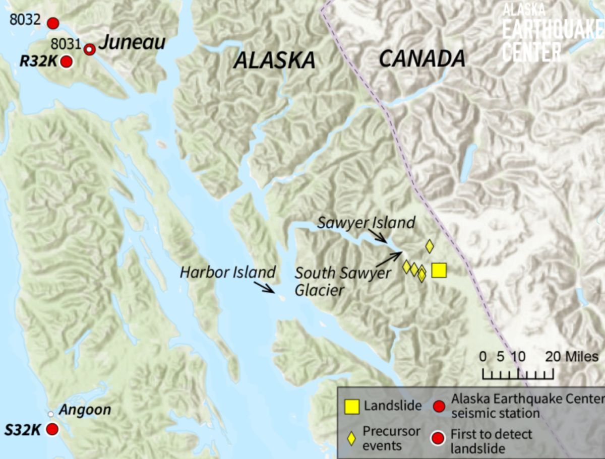
The incident occurred at 5:30 a.m. on August 10 (local time), at the head of Tracy Arm Bay, where the South Sawyer ice reached the water surface, about 80km southeast of Juneau City.
Ms. Ezgi Karasözen - a seismologist at the center - said that the research team quickly located and estimated the volume of the earthquake just a few hours after receiving the seismic signal. The energy released from the landslide was equivalent to a 5-magnitude richter earthquake, she said.
Notably, the state's seismic measurement station system recorded a "pre- warning" signal that lasted for more than a day before the landslide occurred - a rare opportunity for research.
This could be the best known example of this type of signal. We will focus on exploiting the direction of studying for pre-clclclose detection" - Ms. Karasözen said.
Mr. West called the ability to identify signals that last for hours or days before disasters the "sacred cup" of risk monitoring.
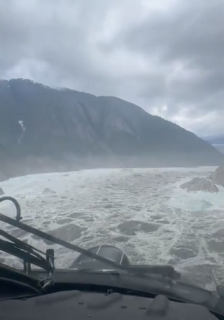
Tracy Arm is a famous sightseeing route with cruise ships carrying thousands of visitors each year. A part of the landslide has overflowed onto the Sawyer iceberg, while the rest have fallen into the water, creating seiche-like sunsets (waves trapped in the bay).
Waves swept about 30m high onto Sawyer Island, 6.4km from the center of the landslide. On Harbor Island, near the mouth of Tracy Arm Bay and about 58km from the incident, people recorded waves up to 6m high.
West and Karasözen have previously developed a method of detecting large-scale earthquakes just minutes after they occurred, determining whether a location near open water has a potential risk of Tsunami.
The system began a trial operation in Barry Arm (Prince William Sound) in August 2023, then expanded to most of Alaska in the South, but not yet to cover Southeast Alaska.
The principle of the system is to use an algorithm to scan data from more than 250 real-time earthquake stations, finding signs of long-cycle earthquake waves - typically when rocks and soil accelerate down - between a series of short-cycle signals from earthquakes, ice or human activity.
In this case, although it occurred outside the experimental monitoring area, the research team still successfully applied new technology for rapid positioning. Just one day later, the US Coast Guard confirmed the actual location, which was estimated to be only about 7km from our original estimate, said Karasözen.
This disaster is a clear reminder of the importance of research and application of early warning technology, she stressed. After everything is calm, we will consider integrating Southeast Alaska into the monitoring area.


