The most affected area of the low pressure in the East Sea

Khánh Minh |

At 3:00 a.m. on May 5, the center of the low pressure in the East Sea was at about 12.3 degrees north latitude, 116 degrees east longitude, 460 km west of Coron Island (Palawan, Philippines).

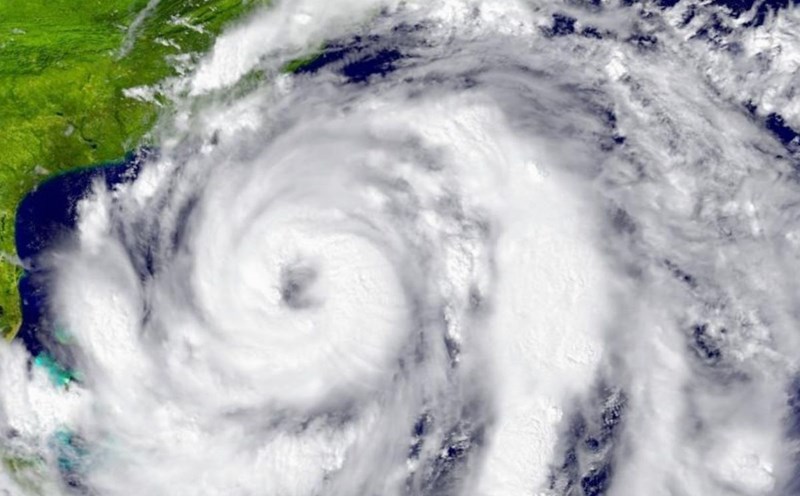
According to information from the Philippine Atmospheric, Geophysical and Astronomical Services Administration (PAGASA), the low pressure area has a very low probability of strengthening into a tropical depression in the next 24 hours.

However, the trough associated with this low pressure is causing thick clouds, cloudy skies and scattered rains in many areas of Central and Southern Luzon, especially the Mimaropa, Bicol, Quezon and Batangas regions.

Meanwhile, according to the National Hydrometeorological Forecast Center of Vietnam, day and night 5.5, the following waters have showers and thunderstorms: the eastern waters of the middle and south of the East Sea (including the eastern waters of Truong Sa Archipelago); waters from Ca Mau to Kien Giang; Thailand Bay.

Warning of the possibility of tornadoes and strong gusts of wind of level 6-7.

Ship operating in the above areas are at high risk of being affected by tornadoes at sea, strong gusts of wind and big waves.

Meanwhile, PAGASA weather forecaster Chenel Dominguez said: A possible scenario is that the low pressure area will leave the Philippine Forecast Area (PAR) or self-dissolve.

Palawan - located near the center of the lowest pressure area - is forecast to continue to experience cloudy skies, scattered rains and unstable weather until at least the end of tomorrow (May 5).

Hinh thai thoi tiet o Philippines. Anh: PAGASA
Satellite cloud image around the Philippines at 7:00 a.m. on May 5, 2025, local time. Photo: PAGASA

Although unlikely to strengthen into a storm, this low pressure area is still greatly affecting the weather in the area, especially through showers and thunderstorms due to the expansion of the low trough.

In the country, especially the capital Manila and many other regions, the winter wind effect continues to dominate the weather, bringing hot sunshine and high humidity, typically for the changing seasons before the official rainy season begins.

PAGASA also noted that, as it is the beginning of May - the transition period to the rainy season - local showers due to thunderstorms and wind convergence will occur more often, especially in the late afternoon.

As of now, no strong wind warnings have been issued for the entire coastal area of the Philippines, suggesting that the sea is still quite peaceful despite the presence of a low pressure system.

In short, even if no storm is formed, the low pressure area in the East Sea is still a cause of widespread unstable weather in the central and southern part of Luzon Island of the Philippines, with Palawan being the most severely affected area.

Weather developments in the coming days depend on the direction of movement or the ability of this low pressure area to dissipate. People in the affected area still need to continue to monitor updated weather forecasts from the meteorological agency.

Khánh Minh
RELATED NEWS

The 2025 storm season is forecast to be unusually fierce

|

Current conditions are ripe for unusually strong storms during the 2025 Atlantic hurricane season.

The increasingly obvious influence of the low pressure near the East Sea

|

The center of the low pressure near the East Sea at 8:00 a.m. on March 3 was at 9.9 degrees north latitude, 124.6 degrees east longitude, in the waters of Mabini, Bohol, and the Philippines.

Unusual things appear before the 2025 storm season

|

Before the 2025 typhoon season officially begins, meteorologists are witnessing a rather unusual phenomenon in temperature.

92.5 trillion VND project in Hanoi: Hundreds of people come to hear information about land acquisition

|

Hanoi - The work of land acquisition and site clearance for the Olympic Sports Urban Area project, with an investment of 925 trillion VND, is being actively implemented by communes.

People excitedly attend the Buddha bathing ceremony during the Chol Chnam Thmay Tet holiday

|

Ho Chi Minh City - Chôl Chnăm Thmây Tet at Candaransi Pagoda attracts a large number of people, highlighted by the Buddha bathing ritual and imbued with the identity of the Khmer people.

Terminating the operation of the National Traffic Safety Committee from June 1, 2026

|

The Prime Minister decided to terminate operations and dissolve the National Traffic Safety Committee and the Traffic Safety Boards of localities from June 1, 2026.

Case of teacher punishing 5 students for self-injecting needles in their hands: Test results have been available

|

Ho Chi Minh City - 5 students who were punished by teachers by self-injecting needles into their hands have blood counts within normal limits and are continuing to be monitored for their health.

Government directs inspection of the arrangement and assignment of deputy-level leaders

|

The Government requests inspection and supervision of legal regulations on arranging and assigning the number of deputy-level leaders according to regulations.

The 2025 storm season is forecast to be unusually fierce

Song Minh |

Current conditions are ripe for unusually strong storms during the 2025 Atlantic hurricane season.

The increasingly obvious influence of the low pressure near the East Sea

Song Minh |

The center of the low pressure near the East Sea at 8:00 a.m. on March 3 was at 9.9 degrees north latitude, 124.6 degrees east longitude, in the waters of Mabini, Bohol, and the Philippines.

Unusual things appear before the 2025 storm season

Khánh Minh |

Before the 2025 typhoon season officially begins, meteorologists are witnessing a rather unusual phenomenon in temperature.