
A ice landslide originating from a glacier in the high mountains of Nepal was identified as the cause of a serious mudslide at Gyirong port, Tibet, China on August 26, according to local authorities.
The information was announced at a press conference held by the Information Office of the Tibetan Autonomous Region on August 30 to update rescue and disaster recovery efforts in the China-Nepal border area.
According to experts, an ice river on the southern slope of Mount Langtang Lirung, Nepal, cracked at an altitude of about 5,200m, creating an ice landslide.
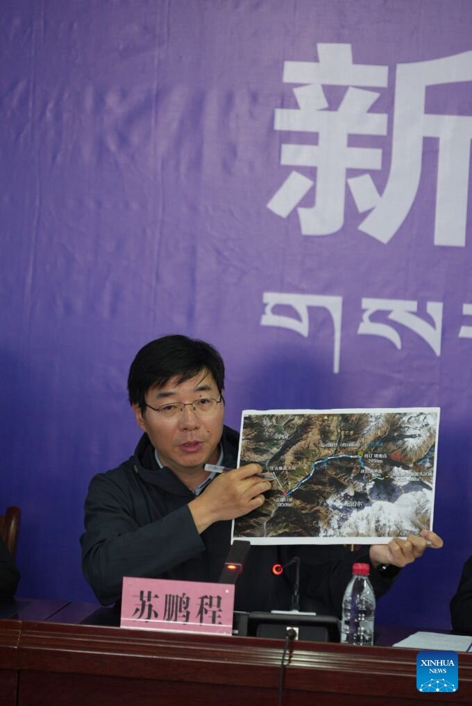
The ice block then quickly plunged into the area at an altitude of about 4,000m, eroding the mountainside and developing into a large-scale soil and rock flow. The soil and rock flow continued to overflow about 22km before reaching Gyirong port, located at an altitude of about 1,800m.
The disaster flattened an area of about 0.7km2, destroying 27 buildings and related facilities.
The conclusion was drawn by the ice disaster emergency response team of the Chengdu Mountain and Environmental Disaster Research Institute, under the Chinese Academy of Sciences. The expert team analyzed remote surveillance data transmitted from the scene, and conducted field surveys and investigations.
Experts believe that the process from ice and ice landslides to the formation of soil and rock flows has caused the mass of material to move through steep terrain, carrying soil and rocks on the mountainside and increasing the level of destruction when moving towards the border gate area.
As of the morning of August 30 (Vietnam time), the serious flash flood has killed at least 734 people and left 2,498 missing, according to data from the Nepal Disaster Management Agency quoted by AFP.
Gyirong Port is located in the China-Nepal border area and is one of the important trade routes between the two countries. Search and rescue for missing people and disaster recovery are being implemented in the affected area.


