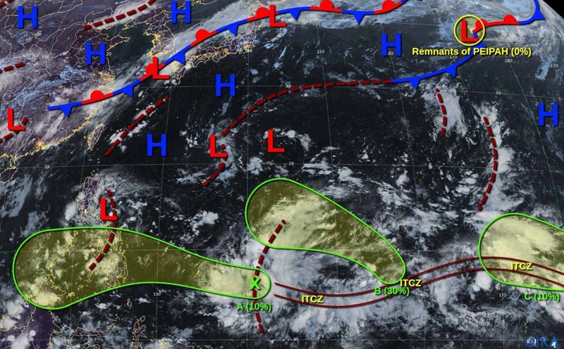
According to the latest storm information from the US National Hurricane Center (NHC), the low pressure off the coast of West Africa is moving west-northwest at a speed of about 24 km/h, likely to develop slowly by the end of the week. The risk is still low due to strong wind shear and dry air.
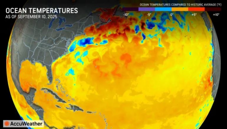
The Atlantic has not seen any tropical storms for 13 consecutive days, but during that time, sea surface temperatures continued to rise, many places hit records. In the Gulf of Mexico, the southwestern Caribbean and Atlantic Ocean, water temperatures are approaching 32 degrees Celsius, much higher than the minimum 27 degrees Celsius needed to form a storm.
The waters off the coast of West Africa, which are colder for most of the summer, have also warmed significantly.
AccuWeather typhoon forecaster Alex DaSilva emphasized: Not only looking at surface temperatures, we also analyze the amount of heat at the deep layer. When the sea water heats to the bottom, the storm can increase to level extremely quickly and is unlikely to weaken.
He warned that the Gulf of Mexico is at record high ocean temperatures, causing a worrying risk of rapid intensification. As the storm rapidly intensifies in the region, people will have less time to prepare than for storms far outside the Atlantic.
According to meteorologists, when the amount of heat accumulates too much in hot seas, the risk of many super typhoons appearing at the same time will increase.
However, the development of the storm has been hampered by a dry air mass from Sahara and Canada and strong wind shear in the Atlantic and along the U.S. east coast over the past two weeks.
DaSilva said the risk of storm formation is still low this weekend, but next week, when conditions become more favorable, "the entire unusually warm water mass will become food for tropical storm explosions".
Experts are particularly concerned about the second half of September, when the western Caribbean and Gulf of Mexico - which are often home to early and late seasons - enter a sensitive period. This is also the area that has created many super typhoons in the past due to high sea temperatures and favorable atmospheric circulation.
This year's Atlantic hurricane season is currently slower than average, with only 6 named storms, of which only Erin strengthened into a hurricane, but increased the record from a typical storm to a Category 5 in less than 25 hours. It is the clearest proof of the dangers of the combination of sea temperatures and atmospheric conditions, says DaSilva.
The Atlantic hurricane season runs through November 30, and the next name on the list will be Hurricane Gabrielle.