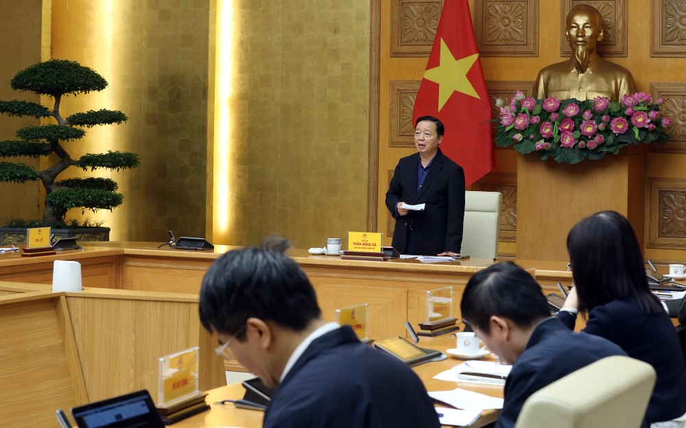
On November 26, at the Government Headquarters, Deputy Prime Minister Tran Hong Ha chaired a meeting with ministries, branches and localities on responding to storm No. 15 - storm KOTO, which entered the East Sea with a level 8 intensity and gusts of level 10.
Mr. Mai Van Khiem - Director of the National Center for Hydro-Meteorological Forecasting - said that with 4 other moderate weather patterns active from the Indian Ocean, Bay of Bengal to the Northwest Pacific, the movement of storm No. 15 is more complicated.
With the main scenario (70%)), storm No. 15 will change direction when it is about 450-500km from Khanh Hoa - Gia Lai around November 30. Rain may appear from Da Nang to Lam Dong on December 1-2, with rainfall of about 50-100mm, concentrated in coastal areas.
Bad scenario (20% probability), storm No. 15 will make landfall in the South Central region, with intensity at the tropical depression level, weak winds and rainfall of about 150-200mm, mainly in the coastal area.
Concluding the meeting, the Deputy Prime Minister emphasized that the recent flood situation in the Central provinces is still very serious, while the upcoming storm No. 15 will add pressure.
Therefore, localities need to update information, accurately forecast and activate all regulations related to ship management, not allowing operations in dangerous areas.
For areas at risk of landslides, the Deputy Prime Minister suggested maintaining a response scenario to level 4 natural disaster risks, especially in mountainous areas. In particular, continuing to arrange forces to ensure the safety of the people and re-evaluate maps of floods, flash floods, landslides, and geological disasters in 34 provinces and cities.
"Preview map is the main tool to build response scenarios and plans. Otherwise, forecasting will be difficult" - the Deputy Prime Minister emphasized.
The Ministry of Agriculture and Environment, scientific and hydrometeorological forecasting agencies review, adjust and complete flood maps, ensuring that information is updated to commune and ward levels so that local authorities and people can proactively prevent and avoid floods.
The Government leaders also requested to assess the causes of recent flash floods and landslides, distinguish between natural and man-made factors, thereby drawing lessons to protect people's lives.
Localities must rely on historical flood maps to identify low-lying areas, accept living with natural disasters and prepare appropriate response plans.

Regarding the operation process of hydroelectric reservoirs, the Deputy Prime Minister stated that it is necessary to review the responsibilities of lake owners and the inter- Lake process, ensuring timely information downstream. Without control and regulation measures, sudden flood discharge can cause flash floods, making people unsafe.
Ministries, branches and local authorities, especially localities that have just suffered natural disasters, immediately implement the instructions and assign assigned assigned tasks.
At the same time, ministries and branches must coordinate with research institutes, scientific agencies on irrigation, meteorology and water resource management to grasp the situation, accurately assess risks related to water, thereby controlling well and minimizing damage to the people.
The Deputy Prime Minister also noted the need to rotate forces to avoid overloading cadres and soldiers participating in natural disaster response.


