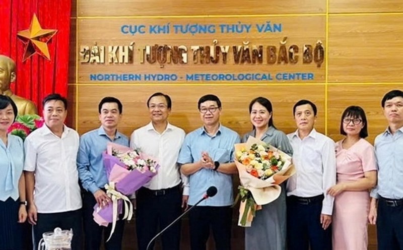
On the afternoon of September 4, at the National Exhibition Center (Dong Anh, Hanoi), the Vietnam Environment - Environment and Mapping Publishing House held a seminar with the theme "Map ministries of 34 provinces and cities - Publishing formats to meet user needs in the period of gradual digital transformation of the publishing industry".
According to the Organizing Committee, the 15th National Assembly has officially approved Resolution No. 202/2025/QH15 on the arrangement of provincial-level administrative units, reducing from 63 to 34 provinces and cities; at the same time, more than 10,000 commune-level administrative units will also be merged to 3,321 units.
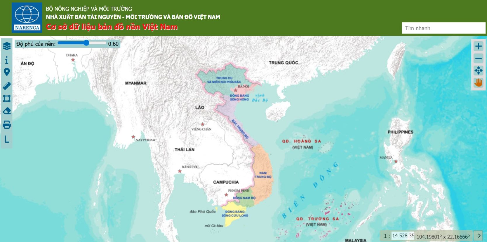
On that basis, the Vietnam Environment and Mapping Publishing House has quickly edited, updated and published a new set of administrative maps to serve research, education...
According to Ms. Pham Lan Huong, a GIS map and database expert, this process requires close coordination between legal trust of raw data, appropriate data models and the application of modern technology.

Thanks to that, map publications can be issued simultaneously in many formats, from traditional to electronic, ensuring timeliness and accuracy, Ms. Huong emphasized.
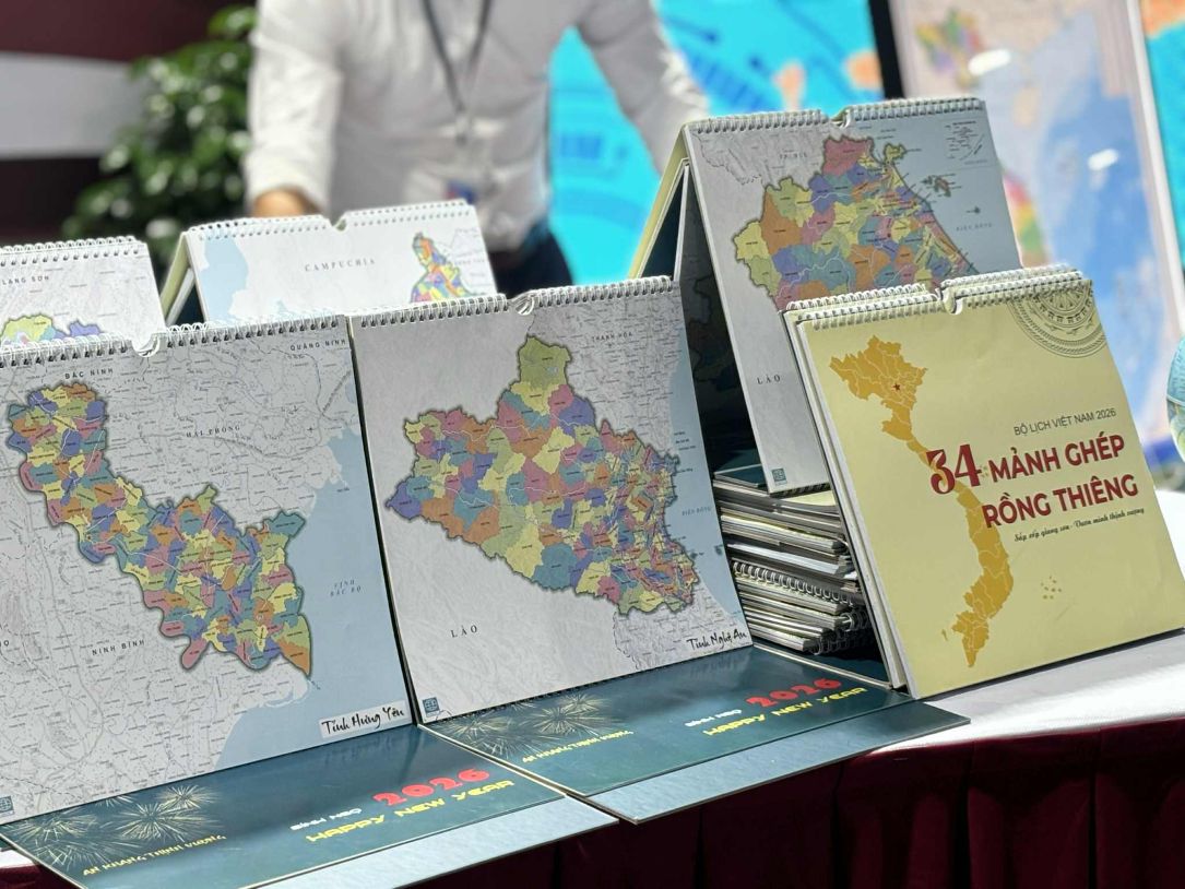
At the seminar, many new products were also introduced: Traditional paper map, annual calendar combined with map, online data portal cosodulieu.bando.com.vn...
In addition, the seminar also introduced the Narenca GIS application - an application that allows looking up information about administrative unit mergers, measuring distance - area, adding notes, converting coordinate systems, and integrating enhanced identification and lookup features right on a paper map.
These products are expected to help users access geographic information intuitively and quickly, while supporting state management agencies, businesses and the research community in the digital transformation period.
The representative of the Vietnam Environment and Map Publishing House affirmed that each map is not only an information product but also has the meaning of propagating sovereignty and territorial integrity, contributing to education and raising public awareness.
The timely updating of the map set of 34 provinces and cities immediately after the National Assembly issued the Resolution also demonstrates the sensitivity, innovation and responsibility of specialized publishing units.