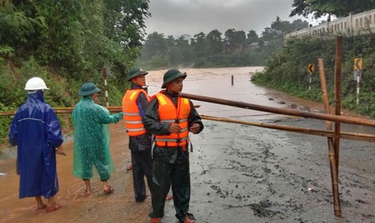
On the afternoon of September 19, Huong Lap Border Guard Station (Quang Tri Province Border Guard) confirmed that the impact of storm No. 4 caused heavy rain, isolating some villages in the area.
Some spillways in Huong Lap commune have risen about 0.5m. Currently, Tri village, Cuoi resettlement area, Tri is isolated due to the high floodwaters making it impassable.
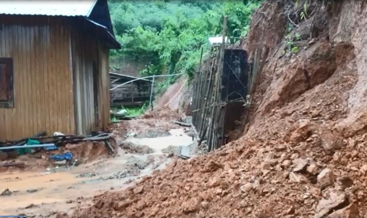
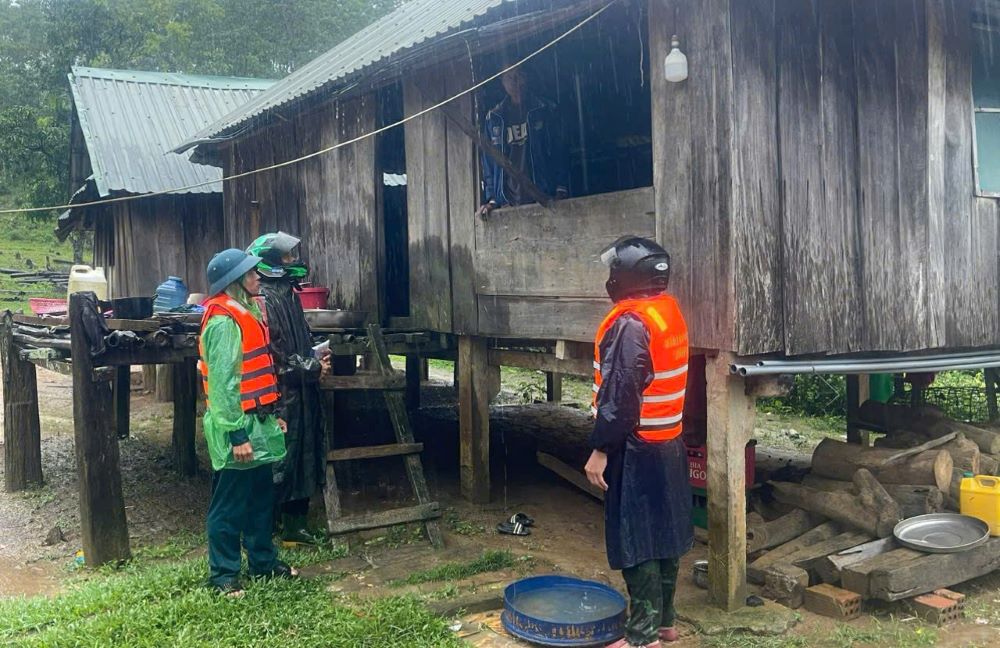
At the resettlement area of Cup village (Huong Lap commune), there was a slight landslide. To ensure safety, the locality has relocated 4 households/15 people away from the location at risk of landslides and flash floods. In addition, on the Ho Chi Minh Highway, the West branch, there was a slight landslide at Km 169+100, but traffic is still running normally.
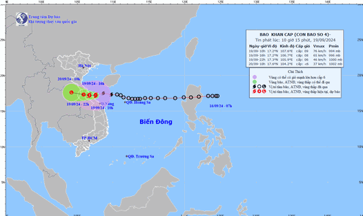
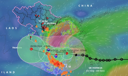
According to the Steering Committee for Natural Disaster Prevention and Search and Rescue of Quang Tri province, at 10:00 a.m. on September 19, the eye of the storm was located at about 17.2 degrees North latitude; 107.6 degrees East longitude, in the coastal waters from Quang Binh to Thua Thien Hue. The strongest wind was level 8-9 (62-88 km/h), gusting to level 11. At Con Co (Quang Tri), there were strong winds of level 9, gusting to level 10; Cua Viet (Quang Tri) had gusts of level 8.
The impact of storm No. 4 caused rain, in Dakrong district, A Ngo - A Bung spillway, Ta Rut - A Ngo spillway, Ly Ton spillway, and Lang Cat village spillway were flooded about 0.3-0.5m, causing traffic disruption.
In Huong Hoa district, Cooc village spillway, Huong Linh commune; Loa village spillway; Trum village spillway, Ba Tang commune; Ban Bu spillway, Tan Lap commune; Lia di commune spillway, Xy commune; Huc Thuong spillway, Huc commune flooded 0.5-1.0m, causing traffic disruption.