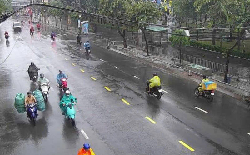
On the afternoon of June 2nd, thunderstorms appeared early and lasted in the Ho Chi Minh City area. Many places recorded moderate to heavy rain accompanied by thunderstorms, lightning and gusts of wind, causing some roads to experience difficult traffic flow during rush hours.
According to the Southern Regional Hydrometeorological Station, monitoring satellite cloud images, weather radar images and lightning positioning shows that thunderstorms are developing strongly, causing showers and thunderstorms in many areas of Vinh Long, Dong Thap and Ho Chi Minh City provinces.
In which, in Vinh Long province, thunderstorms appeared on a large scale in communes and wards such as My Long, Long Hoa, An Qui, Thanh Phong, Thanh Hai, Thanh Phu, Tan Thuy, Quoi Dien, Ba Tri, Binh Dai, Cho Lach, Son Dong, Phu Tan... with radar response intensity commonly from 30-52 dBZ.
In Dong Thap province, thunderstorm clouds are active in areas such as Tan Phu Dong, Phu Huu, Ngu Hiep, Vinh Huu, Binh Ninh, Cao Lanh, Thap Muoi, Doc Binh Kieu, Thuong Phuoc... with a common intensity of 30-50.5 dBZ.
In addition, in Ho Chi Minh City, thunderstorm clouds also appear in some areas such as Long Dien, Dat Do, Phuoc Hai, Ho Tram, Tam Long, Tan Hai, Long Huong, Ba Ria, Chau Pha...
Forecast for the next 0-3 hours, thunderstorms will continue to develop, causing showers with thunderstorms and lightning in the above areas, then tend to expand to neighboring areas. Common rainfall is from 12-60 mm, in some places over 80 mm.
During thunderstorms, it is necessary to watch out for tornadoes, lightning, hail, strong gusts of wind at level 5-8 (8-21 m/s) and the risk of localized flooding due to heavy rain.
From the evening of June 2nd to the night of June 3rd, the Southern region continued to have moderate rain, heavy rain and thunderstorms with common rainfall of 30-70 mm, locally over 100 mm; rain mainly concentrated in the afternoon and evening.


