
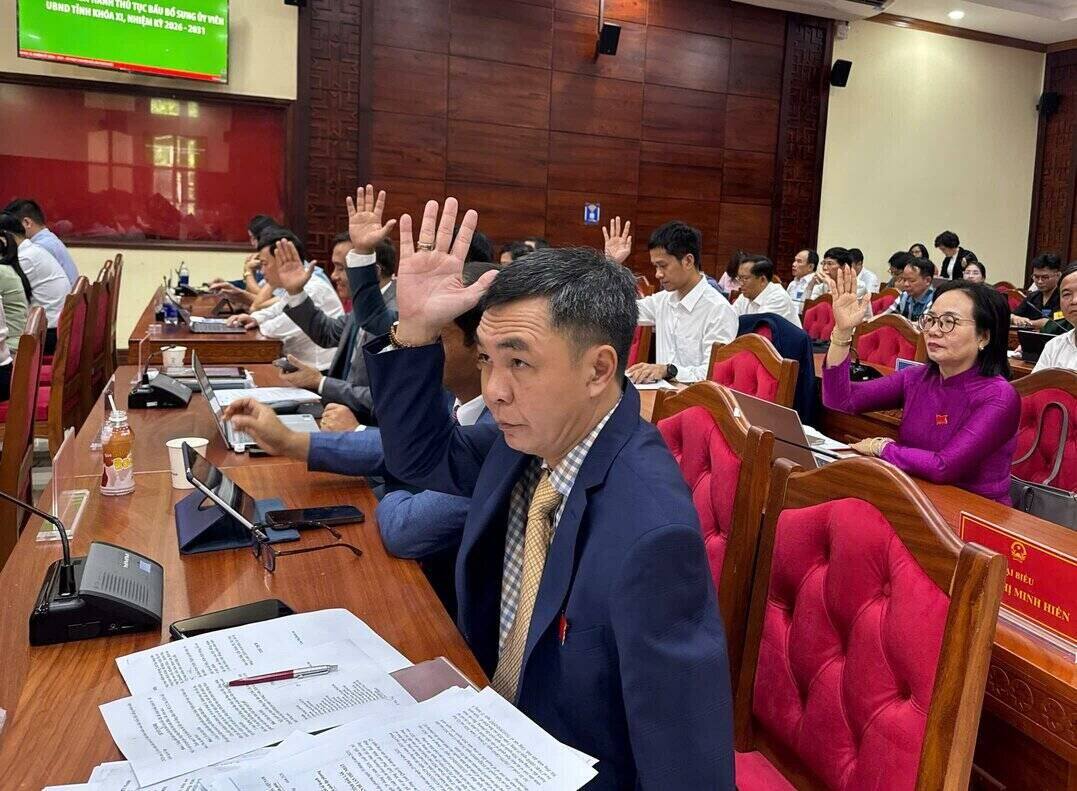
On May 26, at the 1st thematic session of the 11th Dak Lak Provincial People's Council, term 2026 - 2031, delegates voted to approve the Resolution approving the adjustment of Dak Lak Provincial Planning for the period 2021-2030, vision to 2050.
According to Dak Lak Provincial People's Committee, the provincial planning adjustment dossier orients the organization of development space according to a model including 3 economic zones, 3 development corridors, 2 dynamic growth centers and 3 growth poles.
For three economic regions:
Region 1 is the dynamic highland area in the West, including 46 communes and wards belonging to the entire central highland space of the province.
This area is oriented to become the administrative, political, socio-economic center of the province; and also an ecological zone, headwater forest conservation and regional-level service - health center.
Region 2 is the dynamic economic region of the East Sea, including 30 communes and wards.
This region is oriented to become the gateway to the East Sea of the province and the South Central Coast region; developing into an international seaport - logistics center with the core being Nam Phu Yen Economic Zone, Bai Goc port and Vung Ro port.
Region 3 is the transitional midland region, including 26 communes along the areas of Son Hoa - Song Hinh - M'Drak - Ea Kar - Krong Bong - Lien Son (Lak).
This region supplements the connection between the East Sea area and the Western plateau and connects with Khanh Hoa province. The area focuses on developing high-tech agriculture, agriculture associated with industrial crops and deep processing industry serving exports.
About the three economic corridors:
The North-South Economic Corridor in the East is associated with a strategic traffic axis including the North-South Expressway in the East, National Highway 1A, the North-South national railway and in the future the high-speed railway.
The North - South Central Highlands Economic Corridor is associated with the Ho Chi Minh road axis; future orientation includes the North - South West Expressway (CT. 02) and the Central Highlands railway line.
The East-West Economic Corridor is associated with the Phu Yen - Dak Lak expressway (CT. 23) and the Buon Ma Thuot - Khanh Hoa route (CT. 24) in the future. This is an important connecting corridor between the Central Highlands region and the South Central Coast coastal strip.
For the two dynamic centers:
The driving force center of the western highlands includes the urban areas of Buon Ma Thuot - Buon Ho and the surrounding areas. This is an administrative center, a leading urban area in developing new economic sectors, transforming associated with urbanization towards green - smart - identity.
The East Coastal Dynamic Center includes the Tuy Hoa - Dong Hoa urban area and the surrounding area. The area has a comprehensive function, being both a urban center and developing industry associated with economic zones, international seaports, trade - services and tourism.
The three growth poles include:
The growth pole of Song Cau urban area and its vicinity is a strongly developed area in terms of integrated economy, tourism, marine economy and fisheries; and plays a leading role in linking tourism and related services.
Ea Drang urban growth pole and its vicinity is the northern gateway urban center of Dak Lak province, with urban, commercial, service, processing industry and agricultural production support functions.
The urban growth pole of M'Drak and its vicinity is oriented to become a processing industry and logistics center combining eco-tourism and culture.


