Weather forecast for the next 24-48 hours, the continental high pressure will weaken. Above, the subtropical high pressure will continue to encroach on the West. The Northeast wind will decrease slightly in the southern seas.
The wind convergence area in the South China Sea is more active combined with high-altitude easterly wind disturbances. Around October 18, a low pressure trough will be established across the South China Sea connecting with the tropical depression in the eastern part of the Philippines.
Weather forecast for the next 3-10 days, the continental high pressure will weaken, around October 19 it will be strengthened again, and will be strengthened even more strongly on October 20-21.
The low pressure trough over the South China Sea connecting with the tropical depression is likely to strengthen into a storm in the northeastern Philippines, moving mainly northwest and entering the East Sea on October 19-20,
Around October 21-22, the low pressure trough connecting with the tropical cyclone will weaken and fade. The Northeast wind will be weak in the southern seas, gradually becoming stronger from October 21-22. Above, the subtropical high pressure will operate stably, then weaken.
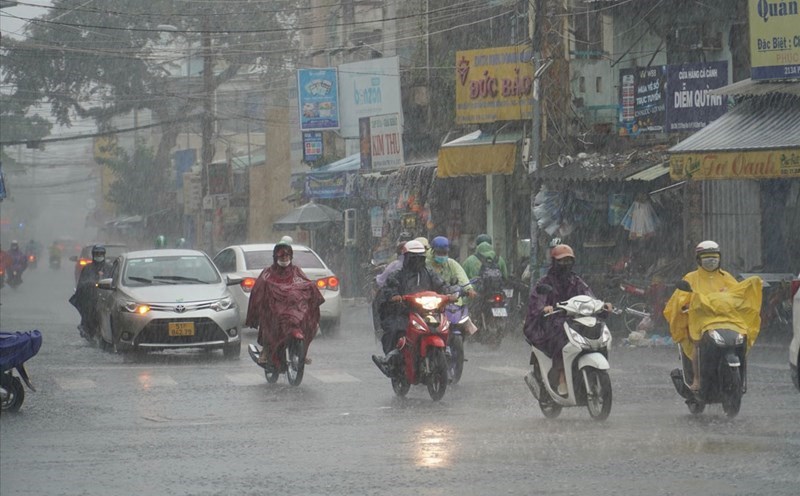
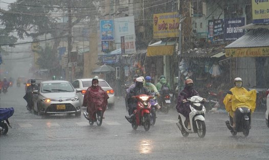
Therefore, the weather in the South from now until about October 18, there will be showers and thunderstorms in some places, in the afternoon and evening there will be scattered showers and thunderstorms, locally heavy rain in some places. Around October 19, the probability of rain will decrease again.