Weather forecast for the next 24-48 hours, the tropical convergence zone with an axis crossing the Central and South Central regions will connect with storm No. 10 in the central East Sea, the storm will move rapidly in the Northwest direction towards the coastal areas of the North Central provinces.
The southwest monsoon will operate at medium to strong intensity. Above, the subtropical high pressure in the northern branch with an axis through southern China will slowly retreat to the East. Meanwhile, the southern branch of the subtropical high pressure tends to gradually strengthen and encroach on the West.
Weather forecast for the next 3-10 days, the tropical convergence zone with an axis through the Central Central region connecting with storm No. 10 tends to gradually lift the axis to the North.
Storm No. 10 moves in a West-Northwest direction, moving deep into the mainland and gradually weakening into a tropical depression and then a low pressure area in the Upper Laos area.
Above, from around September 29-30, the subtropical high pressure in the southern branch will encroach on the West and lift its axis to the North through the South - South Central region, then continue to gradually lift its axis to the North.
The southwest monsoon will operate at medium to strong intensity, from around September 29, the wind intensity will gradually decrease.
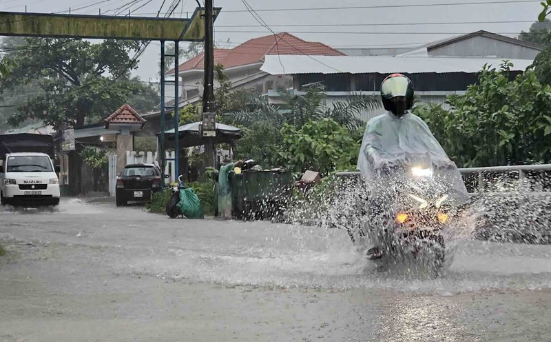
Therefore, in the next 1-2 days, Ho Chi Minh City and neighboring provinces and cities will continue to have moderate to heavy rain. The total rainfall for the entire period is generally 90-130 mm, in some places over 130 mm. From September 30, the rain will gradually decrease in area and volume.
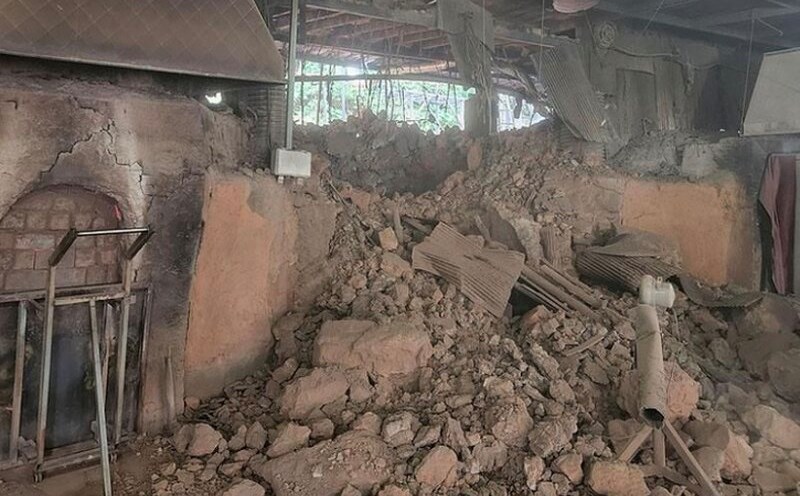
Beware of thunderstorms accompanied by dangerous weather phenomena such as tornadoes and strong gusts of wind affecting agricultural production, breaking trees, damaging houses, traffic works, and infrastructure.
Heavy rain causes flooding in urban areas with poor drainage capacity, affecting traffic, flooding in low-lying areas affecting crops.