According to the Thanh Hoa Hydrometeorological Station, last night and early this morning (July 23), the Thanh Hoa area had rain, in some places it was moderate to heavy rain and thunderstorms; Total rainfall commonly ranges from 5-30mm.
Forecast in the next 24 to 48 hours, due to the influence of the tropical convergence zone with axis 19-21 degrees North latitude connecting with the center of tropical low pressure (weakened from storm No. 2), is active in the waters of Quang Nam. Ninh - Hai Phong, from July 23 to 25, in Thanh Hoa there will continue to be moderate rain, heavy rain and thunderstorms. During the thunderstorm, you need to be careful of tornadoes, lightning and strong winds.
Common rainfall in the coastal plain ranges from 40 - 80mm, in some places over 100mm; midland and mountainous areas from 50 - 100mm, in some places over 150mm.
From the afternoon of July 25, heavy rain in Thanh Hoa gradually decreased. Due to the impact of rain, in Thanh Hoa there is a risk of flash floods, landslides in mountainous areas and flooding in low-lying areas.
Cyclones, lightning and strong winds can affect agricultural production, break trees, and damage houses, traffic works, and infrastructure.
Also this morning (July 23), Thanh Hoa Hydrometeorological Station issued an emergency subtropical depression bulletin (weakened from storm No. 2). Accordingly, due to the influence of storm circulation No. 2, in Bach Long Vi there were strong winds of level 10, gusts of level 12; Co To Island has strong winds at level 6, gusts at level 10; In Tra Co, there are strong winds at level 9 and gusts at level 10; At Cua Ong, there are strong winds at level 6, gusts at level 7; Dam Ha (Quang Ninh) has strong winds at level 6, with gusts at level 9.
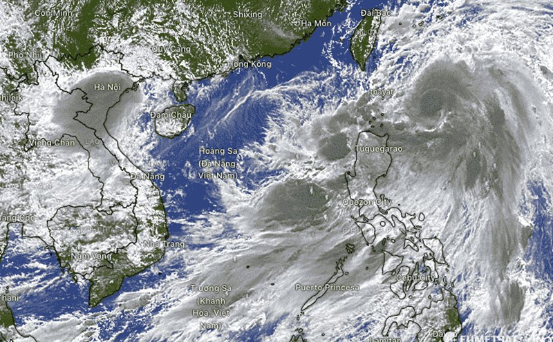
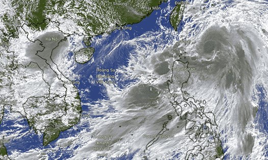
This morning (July 23), Storm No. 2 weakened into a tropical depression. At 7 a.m., the location of the tropical depression's center was at about 21.3 degrees North latitude; 107.6 degrees East Longitude, on the coastal area of Quang Ninh - Hai Phong. The strongest wind in the center of the tropical depression passing through is strong at level 7 (50-61km/h), gusting at level 9 moving in the West - Northwest direction at a speed of 5-10km/h.
It is forecasted that today (July 23), in the coastal waters of Thanh Hoa province, waves will be 0.7 - 1.5m high; In the sea off the coast of Thanh Hoa province, waves are 1.5 - 2.5 meters high.