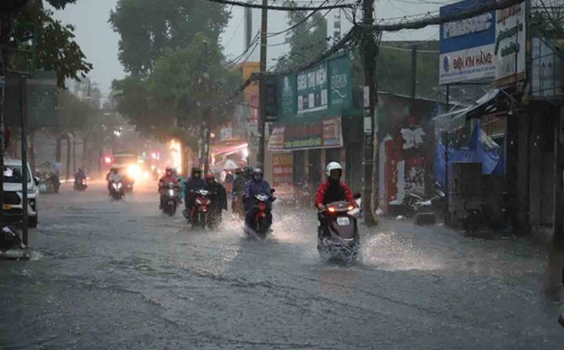
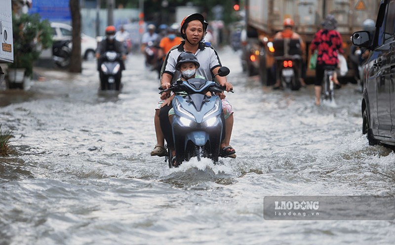
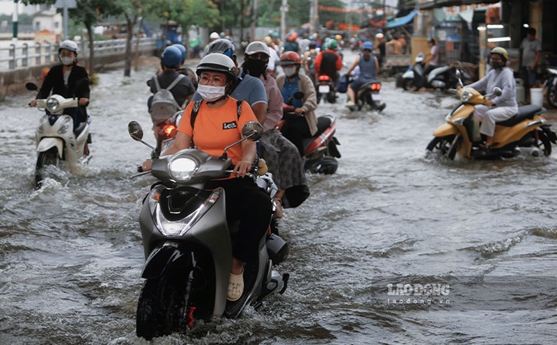
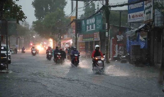
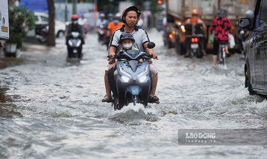
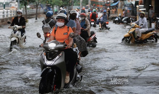
In the past 24 hours, Ho Chi Minh City has had scattered showers and thunderstorms. Rainfall in the past 24 hours such as Thu Dau Mot 51.6 mm, An Phu 48.6 mm, Pham Van Coi 29.2 mm ...
From tonight to October 29, Ho Chi Minh City and neighboring provinces and cities will have moderate rain, heavy rain and thunderstorms. The total rainfall from the night of October 26 to October 29 was generally 150-300 mm. From October 30, the rain will gradually decrease in both area and volume.
Beware of the possibility of heavy rain causing flooding in low-lying areas, urban areas, industrial parks, riverside areas and canals. During thunderstorms, there is a possibility of tornadoes, lightning, hail and strong gusts of wind.
Regarding high tides, the highest water level of the day at most stations on the Saigon River is likely to be high for the next 2 days, then decrease rapidly. The highest daily tide peak will be approximately at or above alert level I and will last until October 27.
Tonight and tomorrow, October 26, the sea area from Lam Dong to Ca Mau (including the South China Sea and the sea area of Ho Chi Minh City), Ca Mau to An Giang and the Gulf of Thailand will continue to have showers and thunderstorms. During thunderstorms, there is a possibility of tornadoes, strong gusts of wind of level 6-7 and waves over 2.5 m high.