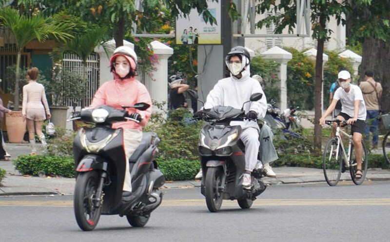
Weather forecast for the next 24-48 hours, the continental cold high pressure continues to weaken slowly. Above, the subtropical high pressure over the South Central region operates at a stable intensity. The Northeast wind is strong over the Eastern sea.
The continental cold high pressure from January 14-15 will strengthen again in the North of our country. The subtropical high pressure with an axis through the Central region will continue to maintain. Around January 15-16, the upper-level easterly wind disturbance will be weak in the South.
Therefore, the weather in Ho Chi Minh City and the provinces and cities in the South has reduced humidity and reduced air quality. The cold weather at night and early morning can affect human health.
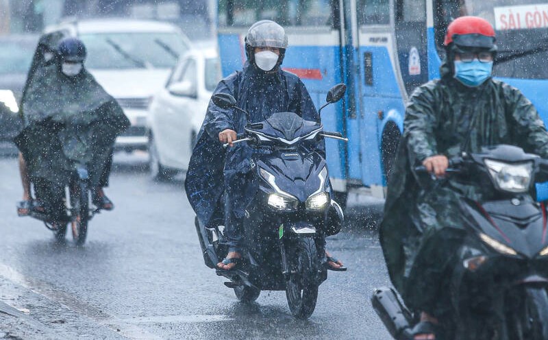
Around January 15-16, the area has a probability of rain of about 60%.
In the past 24 hours, due to the influence of the Northeast monsoon strengthening to the South, water levels at most downstream stations on rivers in the Southwest region have risen rapidly.
Water levels at most stations in the downstream of the Saigon - Dong Nai River and rivers in the Southwest region will continue to rise slowly following the high tide of December 15 (Lunar calendar). The highest peak tide is likely to occur on January 14-16 (December 15-17).
Water levels are high, and precautions should be taken to prevent flooding in low-lying areas and along rivers.


