Weather forecast for the next 24-48 hours, continental cold high pressure will strengthen and shift eastward to the Northern provinces. Above, subtropical high pressure will move through the Central region. Northeast wind will operate strongly over the sea area of the Southeast region.
Tropical depression in the South China Sea tends to move northeast and become stronger.
From the next 3 days, the cold continental high pressure will continue to strengthen to the South, and will be stronger around December 26-27. The Northeast wind in the Southeast sea will be moderate to strong.
The tropical depression in the South China Sea is changing direction to the Northwest towards the mainland of the South and is likely to impact the mainland on December 24, then weaken. Above, the subtropical high pressure with an axis through the Central region tends to encroach on the West.
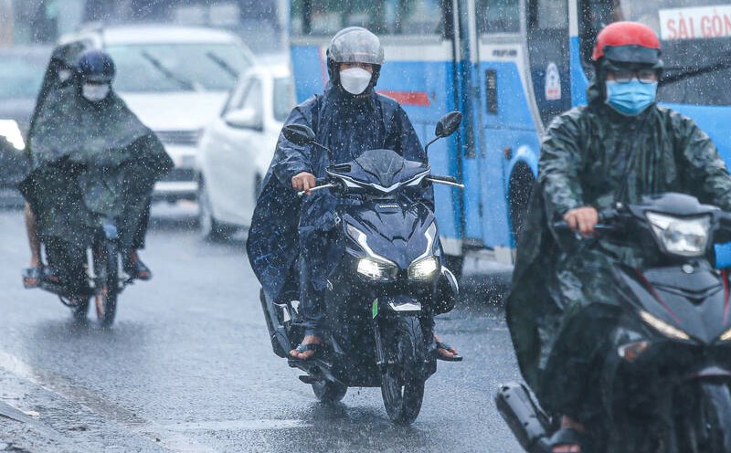
Therefore, the weather in the South is cloudy, sunny during the day, with showers in some places in the evening. On December 24-25, there will be moderate rain and scattered thunderstorms, with heavy rain in some places.
The sea area from Ba Ria - Vung Tau to Ca Mau (including the sea area of Ho Chi Minh City) has Northeast wind level 5, sometimes level 6, gusting to level 7-8, rough sea. Wave height 2.0-4.0m.
The sea area from Ca Mau to Kien Giang and Phu Quoc has East to Northeast wind level 4, normal sea. Wave height 0.5-1.5m. In both sea areas, the weather is scattered showers and thunderstorms in some places.


