Weather forecast for the next 24-48 hours: continental cold high pressure will strengthen and shift to the East. The subtropical high pressure will have an axis through the Central region. Northeast wind will operate strongly over the sea area of the Southeast region.
The continental cold high pressure continues to strengthen to the South, and will strengthen again around December 26-27. Above, the subtropical high pressure has stable intensity after encroaching to the West.
At the same time, around December 22-24, a disturbance formed off the southern East Sea moved west-northwest towards the southern mainland. Northeast winds in the southeastern sea were moderate to strong.
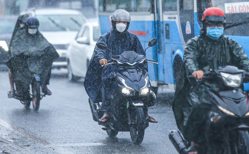
The weather in the South is cloudy, with intermittent sunshine during the day and some rain in the evening. From December 24, the probability of rain in the area will increase.
The southern sea area of the South East Sea has strong winds of level 6, gusts of level 8, waves 3.0-5.0m high; rough seas. From the night of December 22, the southern sea area of Truong Sa archipelago has strong winds of level 6-7, gusts of level 8-9, waves 4.0-6.0m high; rough seas.
Ships operating in the above mentioned dangerous areas are likely to be affected by storms, whirlwinds, strong winds and large waves.
The sea area from Ba Ria - Vung Tau to Ca Mau (including the sea area of Ho Chi Minh City) has Northeast wind level 6, sometimes level 7, gusting to level 8-9, rough sea. Wave height 3.0-5.0m.
The sea from Ca Mau to Kien Giang and Phu Quoc has East to Northeast wind level 4, sometimes level 5, the sea is sometimes slightly rough. Wave height 0.75-1.75m.
Both coastal areas have scattered showers and thunderstorms. During thunderstorms, watch out for tornadoes and strong gusts of wind.


