Weather forecast for the next 24-48 hours, the tropical convergence zone with an axis through the North will remain and connect with storm No. 4 moving into the East Sea area.
The southwest monsoon will operate at medium to strong intensity. Above, the subtropical high pressure in the northern branch will encroach on the West.
Weather forecast for the next 3-10 days, the tropical convergence zone with an axis through the North - North Central region weakens. The southwest monsoon will operate at medium to strong intensity.
Above, the subtropical high pressure in the northern branch will encroach on the West after stable activity, weakening and retreating to the East around July 8; the southern branch will weaken, from July 26 it will encroach on the West and then gradually lift its axis to the North through the South.
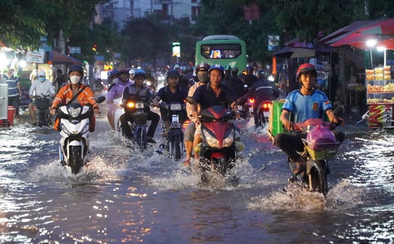
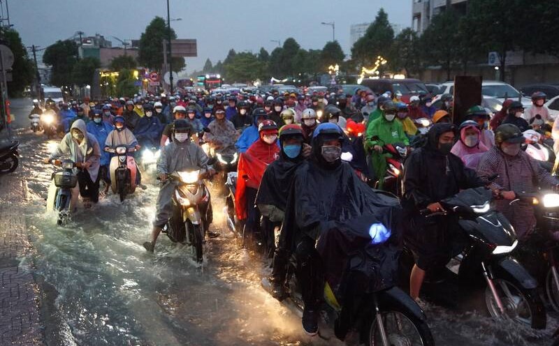
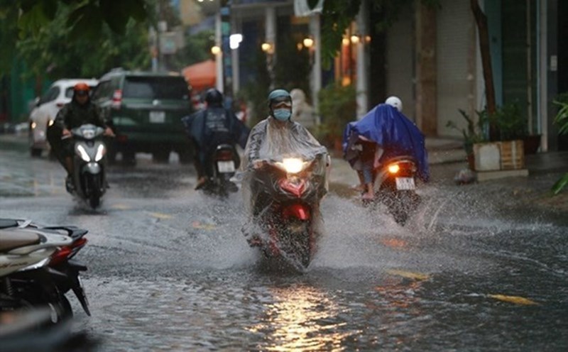
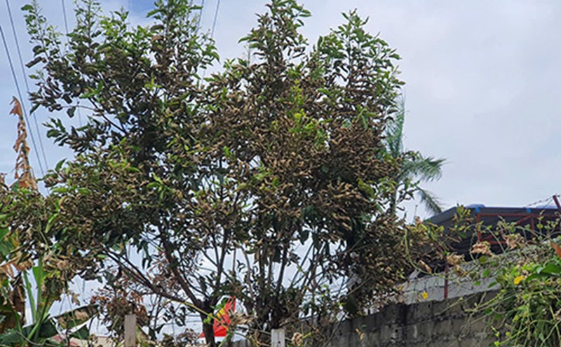
Therefore, the Southern region should be on guard against heavy rain causing local flooding in low-lying areas and landslides along rivers. Thunderstorms accompanied by dangerous weather phenomena such as tornadoes, hail and strong gusts of wind affect agricultural production, break trees, damage houses, traffic works and infrastructure.