Weather forecast for the next 24-48 hours, the tropical convergence zone connecting with the low pressure area weakened by storm No. 3 with an axis through the North will continue. The southwest monsoon will operate at medium intensity.
Weather forecast for the next 3-10 days, the tropical convergence zone with an axis through the Northern region will remain. The southwest monsoon will operate at medium to strong intensity.
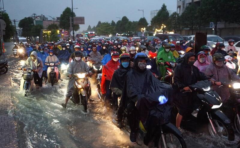
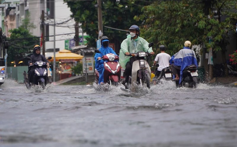
Therefore, the rain in the Southern region will decrease in the next 2-3 days, mainly in the afternoon and evening. The cloud weather changes, with rain in some places, scattered showers and thunderstorms in the afternoon and evening, some places have moderate to heavy rain.
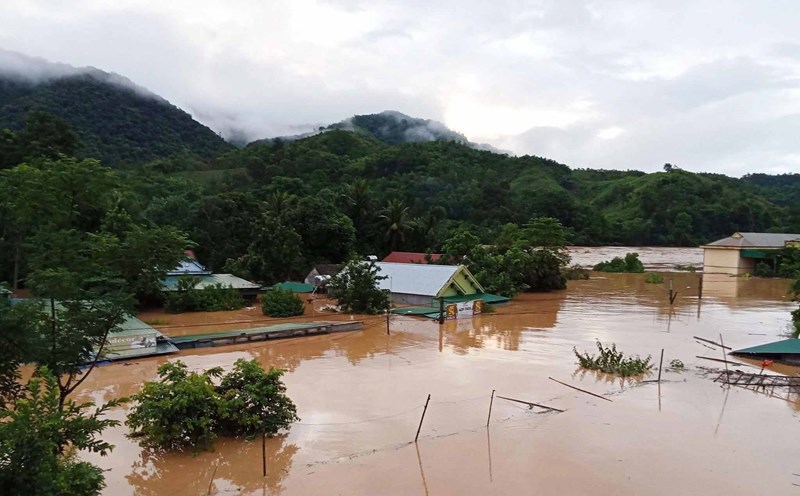
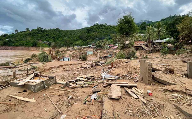
Thunderstorms accompanied by dangerous weather phenomena such as tornadoes, hail and strong gusts of wind affect agricultural production, break trees, damage houses, traffic works and infrastructure.
The sea area from Lam Dong to Ca Mau (including the sea area of Ho Chi Minh City) has southwest winds of level 5, while the North has level 6, gusting to level 7-8. Wave height 1.5-3.0m, rough seas.
The sea area from Ca Mau - An Giang and Phu Quoc has southwest winds of level 4, sometimes level 5. Wave height 0.75-2.0m, sometimes rough seas. In both sea areas, there will be showers and thunderstorms in some places. During thunderstorms, beware of tornadoes and strong gusts of wind.