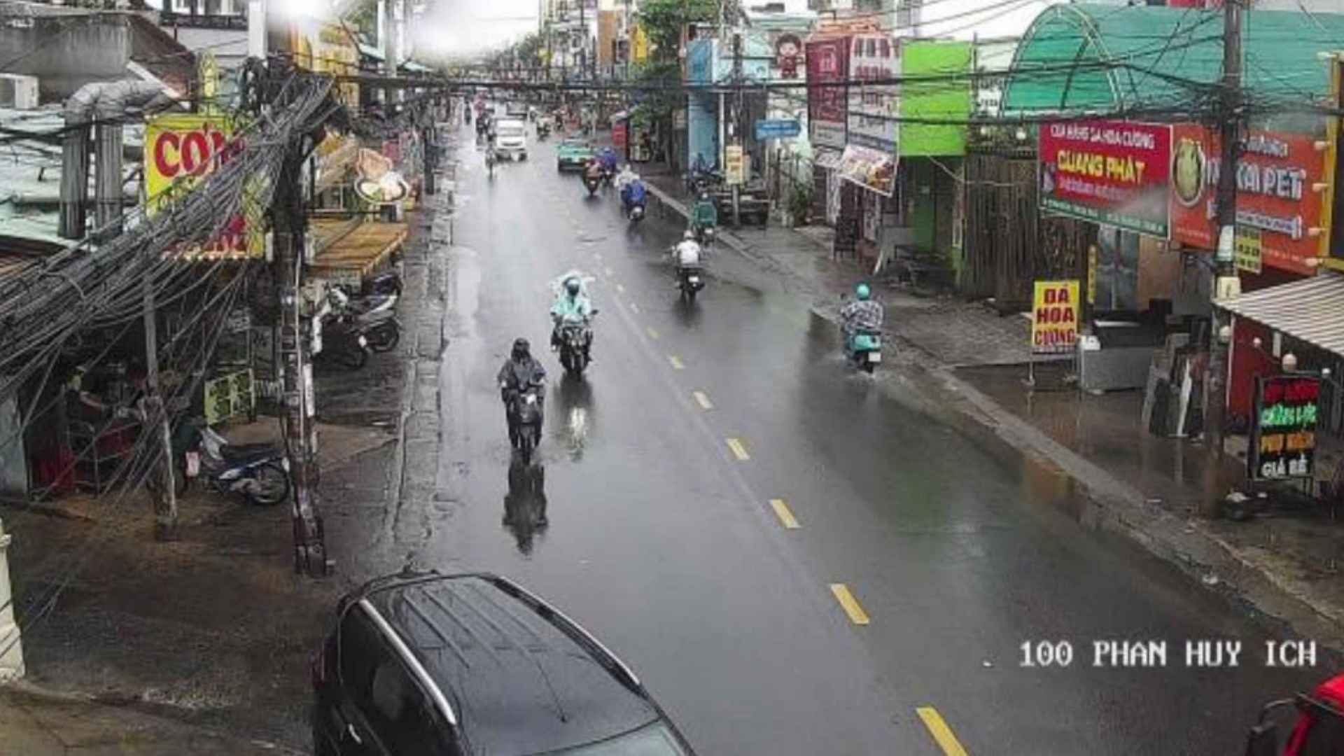
In the afternoon of July 2nd, records in Ho Chi Minh City showed that many areas experienced strong winds, dark clouds, and thunderstorms in some places.
According to the meteorological agency, through monitoring satellite cloud images, weather radar images and lightning positioning, the convective cloud area is developing strongly, causing rain with thunderstorms and lightning in many areas of the old Binh Duong province, including Tay Nam, Long Nguyen, Ben Cat, An Nhon Tay, Phu Giao, Phuoc Hoa, Phuoc Thanh, Bau Bang and Dau Tieng wards/communes.
In the next 1 hour, convective clouds will continue to develop, causing showers with thunderstorms and lightning in the above areas, then it is likely to expand to neighboring areas.
Common rainfall is from 5-30 mm, in some places over 30 mm. During thunderstorms, people need to be wary of tornadoes, lightning, hail and strong gusts of wind at level 5-7 (8-17 m/s). Heavy rain in a short time can also cause localized flooding in low-lying areas.
According to the meteorological agency's assessment, the current rainfall pattern is due to the intertropical convergence zone connected to the center of the tropical depression in the central East Sea area, combined with the Southwest monsoon operating at medium to strong intensity, creating favorable conditions for convective clouds to develop and cause widespread thunderstorms in the South, including Ho Chi Minh City.


