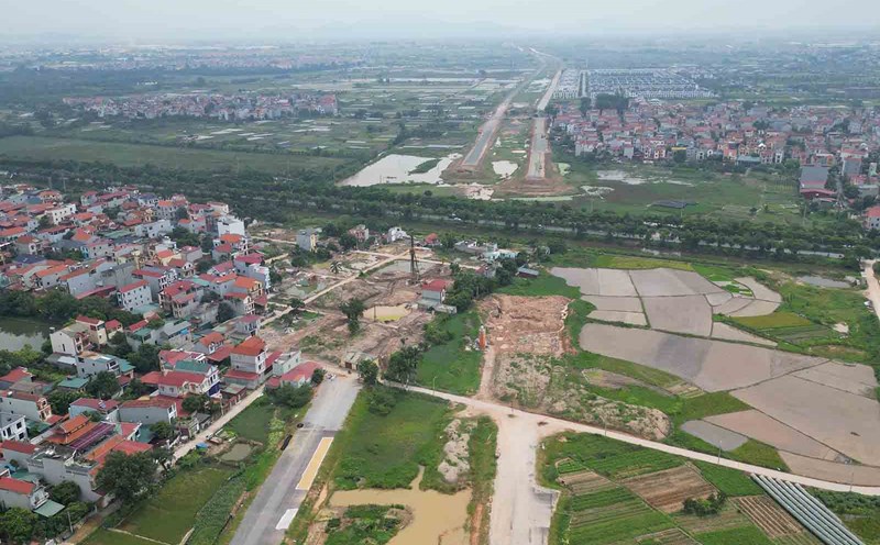
On August 5, the Hanoi Institute of Construction Planning announced the route plan and construction location of route 32.
Accordingly, the route is located in Nam Tu Liem, Bac Tu Liem districts, Hoai Duc and Dan Phuong districts (old), now Xuan Phuong and Tay Tuu wards, O Dien and Hoai Duc communes with a total length of about 6.5km.
The starting point is at the intersection with the planned route 70, the end point is at the intersection with Ring Road 4.
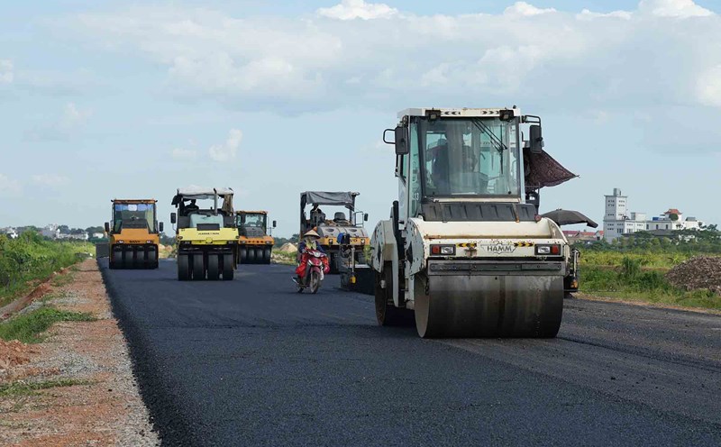
The route is determined in accordance with the orientation of planning projects approved by competent authorities. Regarding the classification, this is an urban road, the main urban road type.
Regarding the cross-section of the route, the entire route has a typical cross-section of B=50m wide (excluding sections of the route in the intersection area of different levels), in which the roadway is 16m2=32m wide (8 lanes), the sidewalks on both sides are 2x7.5m wide = 15m, the central median strip is 3m wide, the route and urban railway station No. 3 are built at an elevated level.
The first section of the route passing through Hanoi University of Industry is about 0.2km long with a cross-section of B=66.5-68.5m wide to build an urban railway station at the median strip, the elevation and decline of the station on the northern sidewalk and has basically been cleared. The composition of the specific cross-section of the route will be determined during the process of establishing a road construction investment project approved by competent authorities.
The City People's Committee also decided to build 6 different-level intersections (overpasses or underpasses) between the route and Road 70; Ring Road 3.5 (from Thuong Cat Bridge to Thang Long Avenue); Ring Road 4. 3- inter-regional routes 1, 2 and 3 connecting 3 subdivisions S1, S2, S3. The red line boundaries of the intersections are determined in the drawing.
Intersections between the route and existing level crossings and other planned level crossings are organized in the form of level crossings. The red line boundary of level crossings will be determined in the red line boundary dossier; will be supplemented and specifically determined during the process of making a detailed plan or an investment project approved by competent authorities.
The urban railway line No. 3 and Nhon station, built at the central median strip of Road 32, have been invested in construction under the Hanoi City pilot urban railway line project (Nhon - Hanoi station section).
The extended urban railway line No. 3 (from Nhon to Son Tay) and stations along the route are identified as traveling elevately in the central median strip of Road 32. The scale of the construction of the route and stations along the route will be determined during the process of establishing an investment project approved by competent authorities.