On October 18, according to the National Center for Hydro-Meteorological Forecasting, the tropical depression in the central east of the Philippines strengthened into Typhoon Fengshen. It is forecasted that from October 20 to 22, the North East Sea area, including the Hue sea area, may be affected by winds of level 10 - 11, gusting to level 13. At the same time, a cold air mass from the North will flow down, increasing strong winds in the Gulf of Tonkin and the Central region.
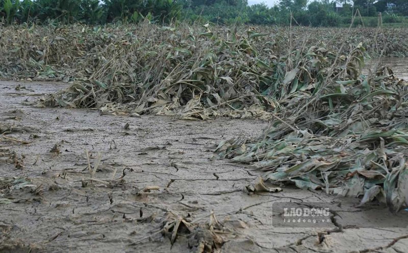
In Hue, from the night of October 17 to the morning of October 18, there was moderate rain, heavy rain, and very heavy rain in some places. The common rainfall was 40 - 140 mm; in the following days, the rain continued to last with an average of 60 - 120 mm, in some places over 150 mm. Phong Dien, Phu Bai, Chan May - Lang Co communes... may have to endure a total rainfall of up to 100 - 200 mm, even more than 300 mm.
The water level of rivers in the area is at a safe level: Huong River at Kim Long is 1.21 m high (0.21 m above alert level I), Bo River at Phuoc is 2.73 m (0.27 m from alert level II). Irrigation reservoirs and hydroelectric plants such as Huong Dien, Binh Dien, and Ta Trach are all under control and have safe operation plans when heavy rain occurs.
Regarding flooding and landslides, sections of the road in Quang Dien, Phong Dien, Kim Tra... were flooded from 20cm to 1m. Especially in Chan May - Lang Co commune, the Bu Lu river bank, about 100 m long, was eroded. The army, border guards, and militia have mobilized machinery and materials such as wood stakes, sandbags, and tarpaulins to reinforce and prevent landslides from spreading from the morning of October 18.
The People's Committee of Hue City and the Civil Defense Command have issued many documents directing the operation of dams, regulating the flow and deploying forces to reserve essential supplies. The army, police, border guards and local forces are mobilized to be on duty 24/7, ready to handle unexpected situations, ensuring the safety of people's lives and property.