According to Hung Yen Hydrometeorological Station, on July 21, the water level in river mouths and coastal areas continued to rise due to the influence of strong tides. The peak water level at Ba Lat station (Red River) reached 2.14m, 0.14m higher than alert level I.
Meanwhile, at Thai Binh and Dong Quy stations (Tra Ly river), the water level is still below alert level I. At Hon Dau station, the tide level peaked at 3.25m.
The Hung Yen Hydrometeorological Station warned that during the days of July 22-27, due to the combined influence of strong tides and Hoa Binh Lake maintaining a single discharge port, the water level in the river mouth and coastal areas will continue to be above alert level I to alert level II. In particular, due to the impact of storm No. 3, from noon and afternoon of July 22, the water at stations in Hung Yen area may increase by 0.30.8m.
The forecast of peak water levels at some stations on July 22 is as follows:
Ba Lat Station: 2,55m (0.05m lower than alert level III)
Thai Binh Station: 2,65m 0.45m higher than alert level I)
Dong Quy Station: 2,20m 0.20m higher than alert level I)
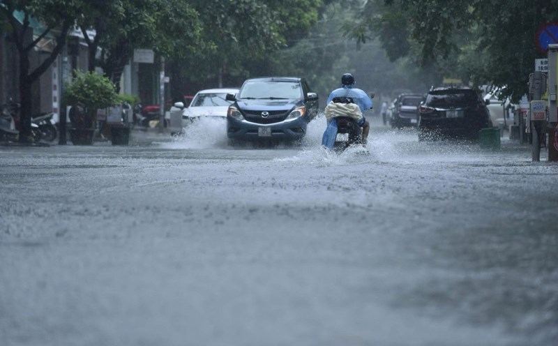
Flooding risk is concentrated in coastal areas including: Dong Thuy Anh, Thai Thuy, Thai Ninh, Dong Thai Ninh, Dong Tien Hai, Dong Chau, Nam Cuong, Hung Phu, along low-lying areas along the Red River mouth, Tra Ly River and alluvial areas along the river. The flooding time is mainly from 12:00 to 18:00 on July 22, with the maximum flooding depth from 0.30.7m.
The warning level of natural disaster risk due to flooding in coastal areas, the mouths of the Red River and Tra Ly is level 12. People need to be on guard against flooding in low-lying areas, landslides, and embankments in vulnerable areas due to the combined effects of high tides, rising water and big waves.