According to the Khanh Hoa Provincial Hydrometeorological Station, at 7:00 a.m. on October 20, the center of storm No. 12 was about 490km East Northeast of Hoang Sa Special Zone. The strongest wind near the storm center is level 9 (75-88km/h), gusting to level 11.
The storm is moving northwest at a speed of about 25km/h and is likely to strengthen.
It is forecasted that by 7:00 a.m. on October 21, the storm will be located about 180km north of Hoang Sa Special Zone, with strong winds of level 11, gusting to level 13. Due to the influence of the storm, the northern East Sea area (including Hoang Sa special zone) has strong winds of level 7-8; the area near the storm center has strong winds of level 9-11, gusts of level; waves 3-5m high, the area near the storm center has 5-7m high, the sea is very rough.
All ships and boats operating in the danger zone are at risk of being affected by thunderstorms, whirlwinds, strong winds and large waves.
On land, the meteorological agency forecasts that from October 22 to 27, the area from Ha Tinh to Quang Ngai is likely to experience widespread heavy rain, lasting for many days, with some places experiencing very heavy rain.
There is a high risk of flash floods, landslides in mountainous areas, flooding in low-lying areas and along rivers. Localities need to proactively plan to respond to flood scenarios on rivers from Quang Tri to Quang Ngai that are likely to reach alert level 3, even exceeding alert level 3.
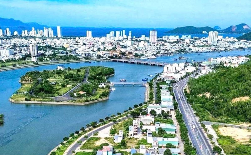
In Khanh Hoa, according to the thunderstorm warning bulletin at 6:30 a.m. on October 20 of the Provincial Hydrometeorological Station, convective clouds are developing strongly in the communes and wards: Tu Bong, Tay Ninh Hoa, Tan Dinh, Bac Khanh Vinh, Trung Khanh Vinh, Nam Khanh Vinh, Khanh Vinh, Khanh Vinh, Suoi Hiep, Dien Lam, Dien Dien Dien, Bac Nha Trang, Nha Trang, Nam Nha Trang, Nam Ninh Hoa and offshore waters.
In the next 6 hours, convective clouds will continue to develop, causing showers and thunderstorms in the above area, then expanding to the whole province.
During thunderstorms, it is necessary to be on guard against lightning, tornadoes, hail and strong gusts of wind; water flowing rapidly through spillways; localized heavy rain causing flooding in low-lying areas, urban areas, flash floods and landslides in steep hills.
Khanh Hoa Provincial Hydrometeorological Station recommends that agencies, departments and people proactively take precautions to ensure the safety of people and property.
Previously, on the afternoon of October 19, the National Steering Committee for Civil Defense issued a telegram to the People's Committees of coastal provinces and cities from Quang Ninh to Lam Dong and related ministries and branches such as National Defense, Public Security, Agriculture and Rural Development, Construction, Industry and Trade, Foreign Affairs, Science and Technology.
The telegram requires localities and units to closely monitor the storm's developments; strictly manage means of transport going out to sea; count and notify ship owners and captains operating at sea of the location, direction of movement and developments of the storm to proactively avoid or escape from the danger zone.
The authorities must prepare means and human resources for rescue when required; at the same time, increase information about the storm's developments to authorities at all levels, fishermen and people in coastal areas to promptly respond.


