On the afternoon of November 17, Lam Dong Hydrometeorological Station said that on the night of November 16 and 17, the flood on Cam Ly River was rising rapidly. At Thanh Binh station, at 8:30 a.m. on November 17, the measured water level was 833.1m, 0.1m above Alert Level III.
It is forecasted that this afternoon and evening, the flood on Cam Ly River will continue to rise and peak, likely reaching 833.8m at Thanh Binh station, 0.8m higher than the alarm level III but 0.45m lower than the historical flood peak. In the next 1224 hours ( nay and morning of November 18), floods are likely to recede slowly and remain below Alert Level III by about 0.4m.
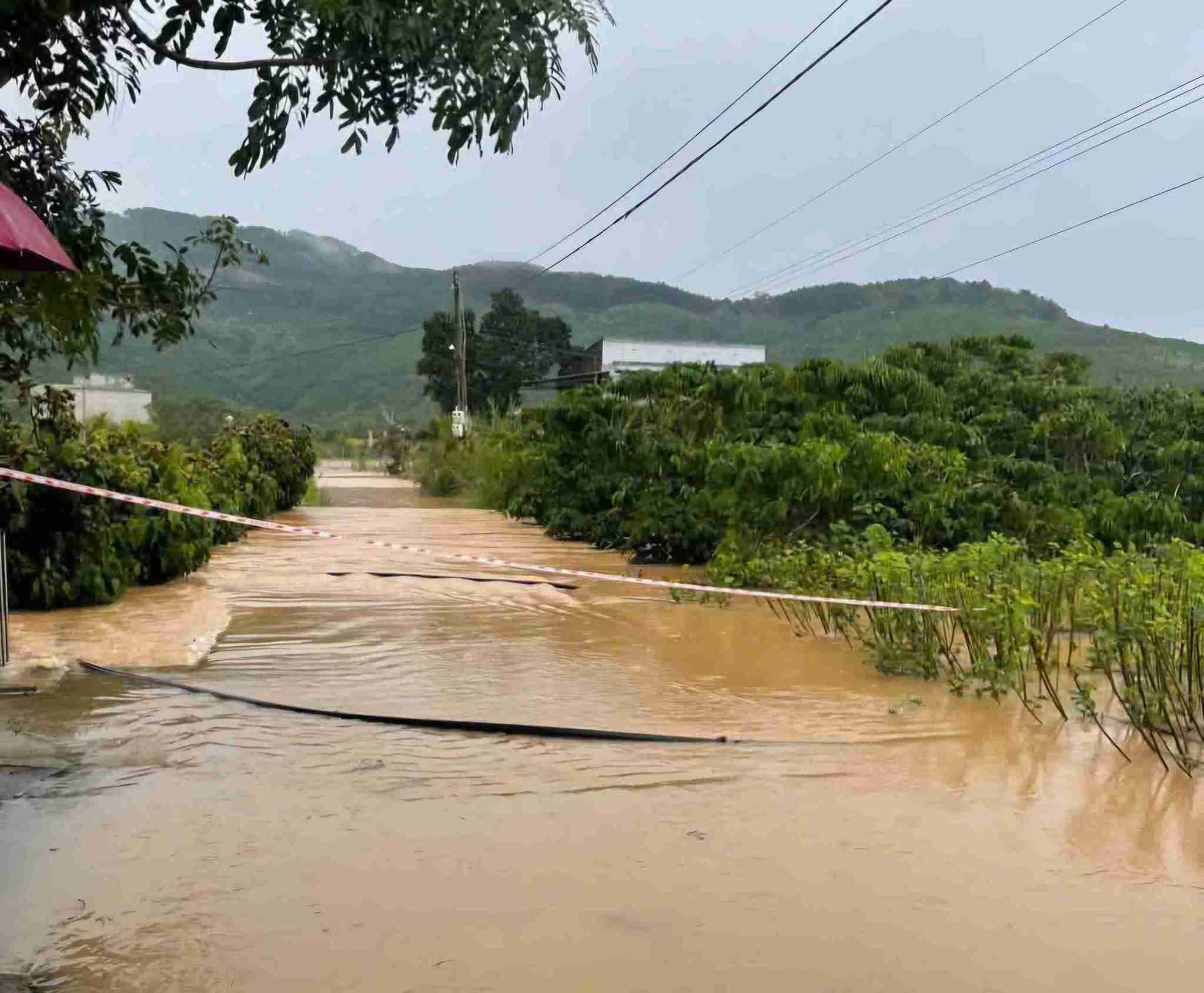
The Meteorological Station warns of the risk of landslides on hillsides, embankments and flooding in low-lying areas along upstream streams of Cam Ly River, in the areas: Lam Vien - Da Lat wards (in Me Linh stream, Trang Trinh), Xuan Huong - Da Lat ward (in Phan Dinh Phung stream, Cam Ly stream), Nam Ban Lam Ha commune, Dinh Van Lam Ha commune (in Cam Ly river area, Kim Phat village) and Duc Trong and Hiep Thanh communes (in Da Ninh Hydropower Plant).
Currently, Dai Ninh Hydropower Company has increased the discharge flow to regulate the spillway. At 9:00 a.m., the lake's water level reached 879.816 m (normal level 880 m), the flow into the lake was 475 m3/s, the engine ran 55 m3/s, and the spillway was 350 m3/s.

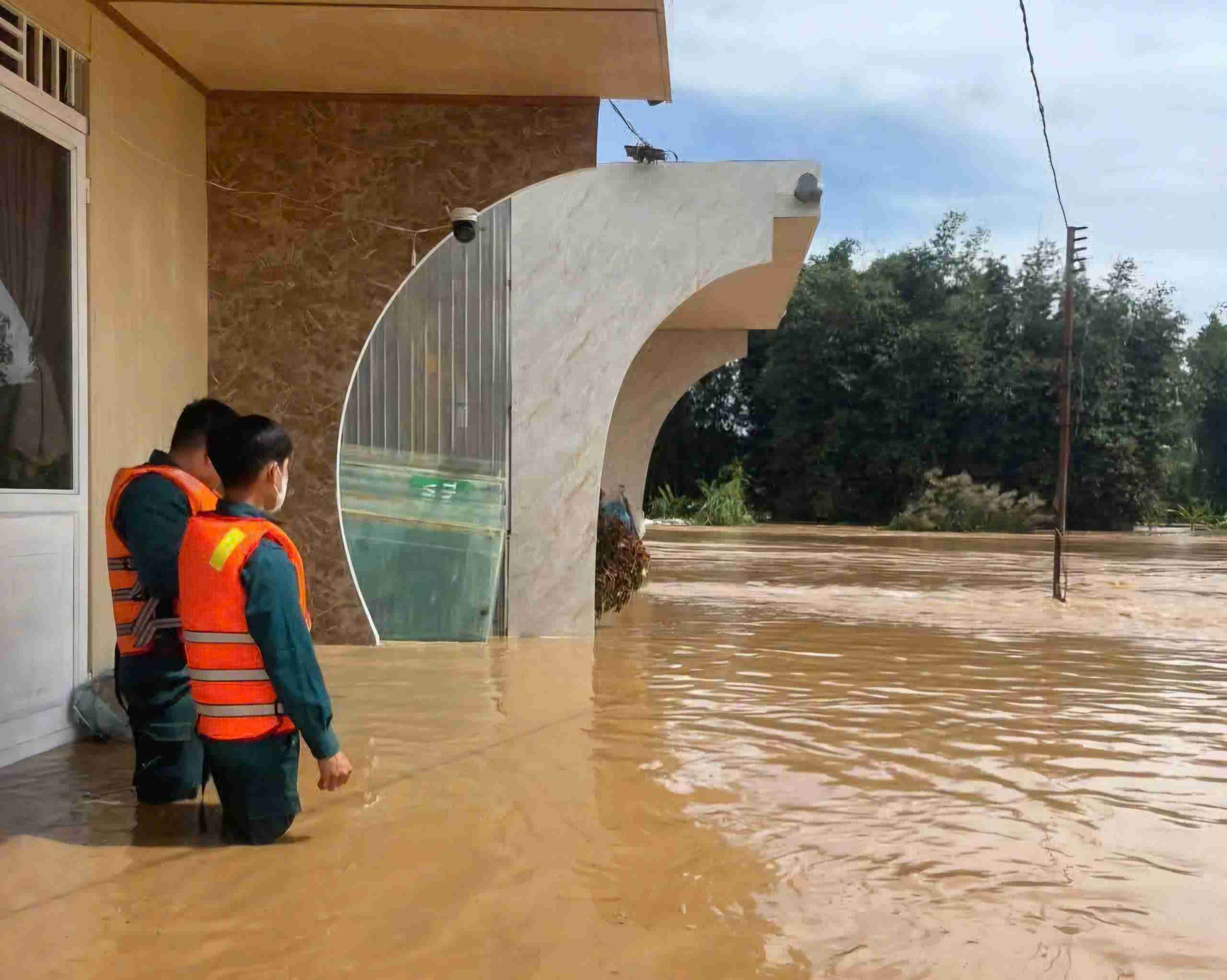
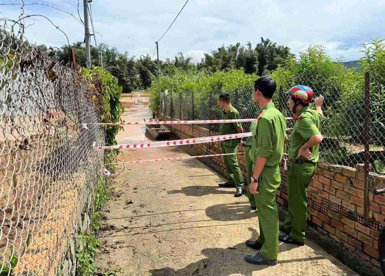
According to records, in Thanh Binh 2 and Thanh Binh 3 villages (Dinh Van Lam Ha commune), floodwaters rose, many areas were flooded from 0.51m deep, affecting houses and crop areas. Functional forces are on duty, supporting people to move to safety and blocking off areas at risk of flash floods.
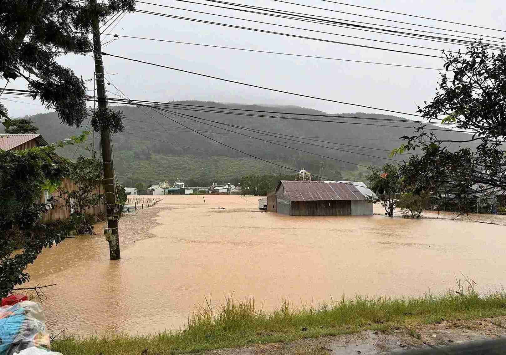
Similar situations also occurred in Hiep Thanh, Duc Trong and Tan Hoi communes, when floodwaters were rising rapidly and flooding many areas.


