Many months have passed since the most recent major flood in late September and early October 2025, and so far the water level of the Red River (Thao River) section passing through Lao Cai and Phu Tho provinces has dropped low.
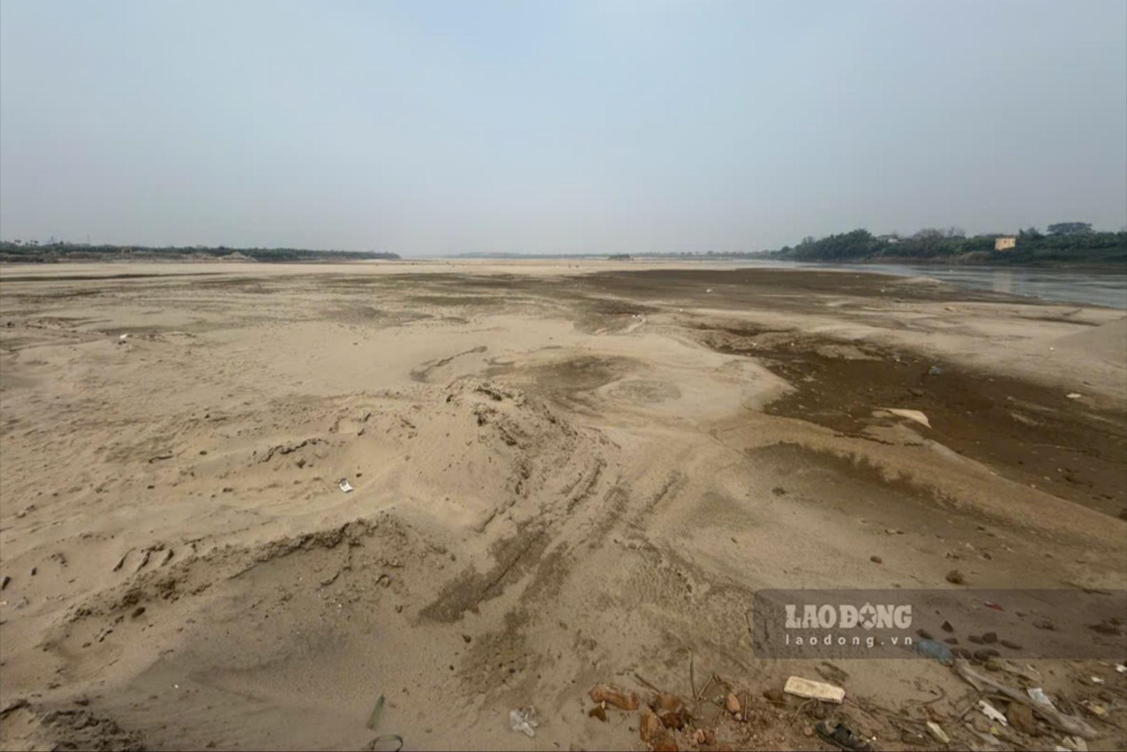
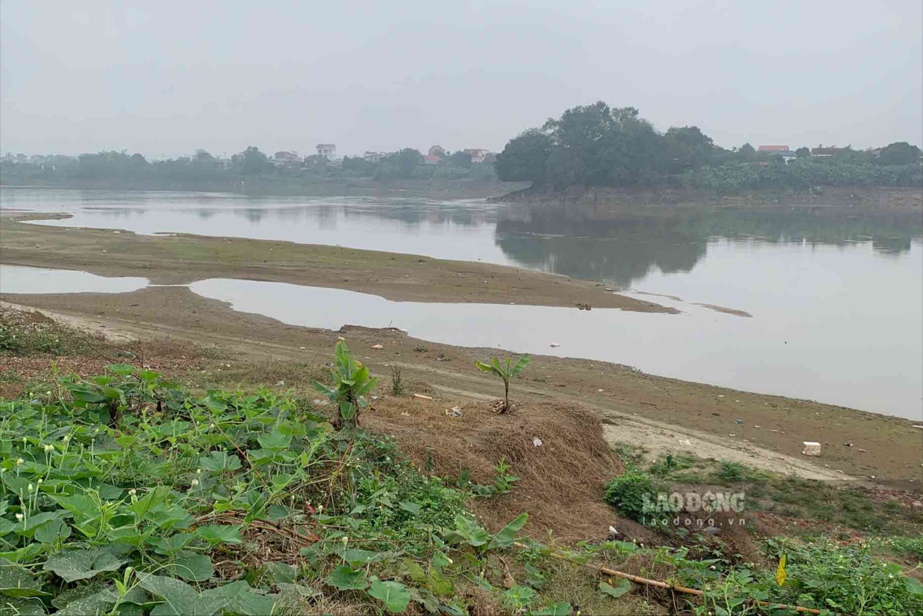
According to records of Lao Dong Newspaper reporters in the last days of February 2026, the water level of the Thao River in Phu Tho dropped low, the flow was narrow, revealing countless alluvial grounds and sand dunes in the middle of the river.
According to the Forecast Bulletin, the medium-term hydrographic warning of the National Center for Hydro-Meteorological Forecasting (from February 21 to March 2), in the coming days, the water level on the Thao River will continue to change slowly.
The measured water level of the Thao River at Yen Bai station (Lao Cai) in the previous period was highest at 23.82m, lowest at 23.02m, average at 23.28m; forecast for the next 10 days, the highest water level is 23.75m, lowest at 22.80m, average at 23.15m.
At Phu Tho station, the water level of the Thao River in the previous period was highest 11.42m, lowest 10.62m, average 11.01m; forecast for the next 10 days, the highest water level is 11.10m, lowest 11.30m, average 10.70m.
According to the Forecast Bulletin on moderate drought water sources (from February 17 to February 28), the flow rate on the Thao River at Yen Bai station decreased compared to the previous period.
The total flow rate on the Thao River at Yen Bai station is 75% lower than the multi-year average over the same period; it is forecasted that the total flow rate will remain at the above level in the coming days.
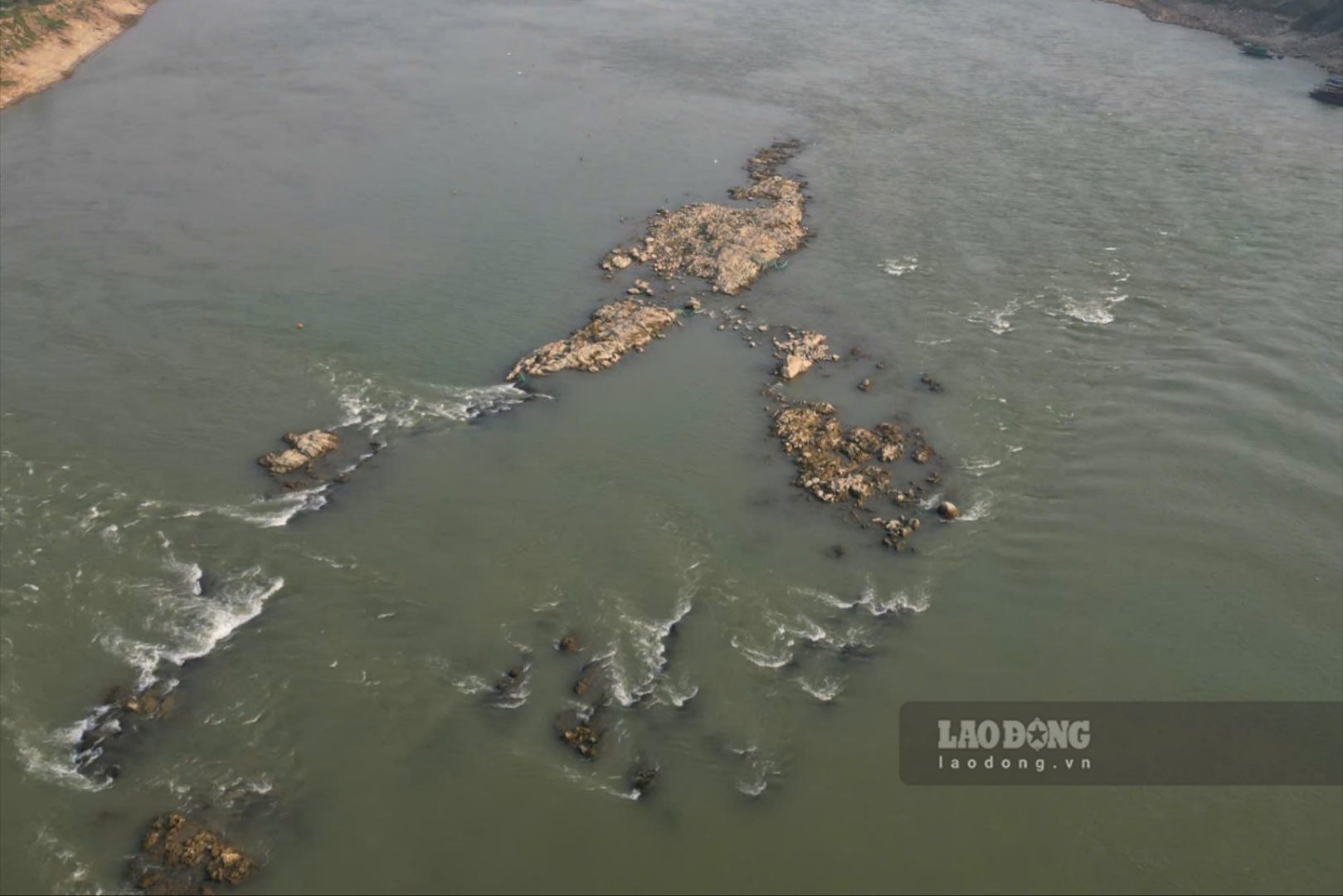
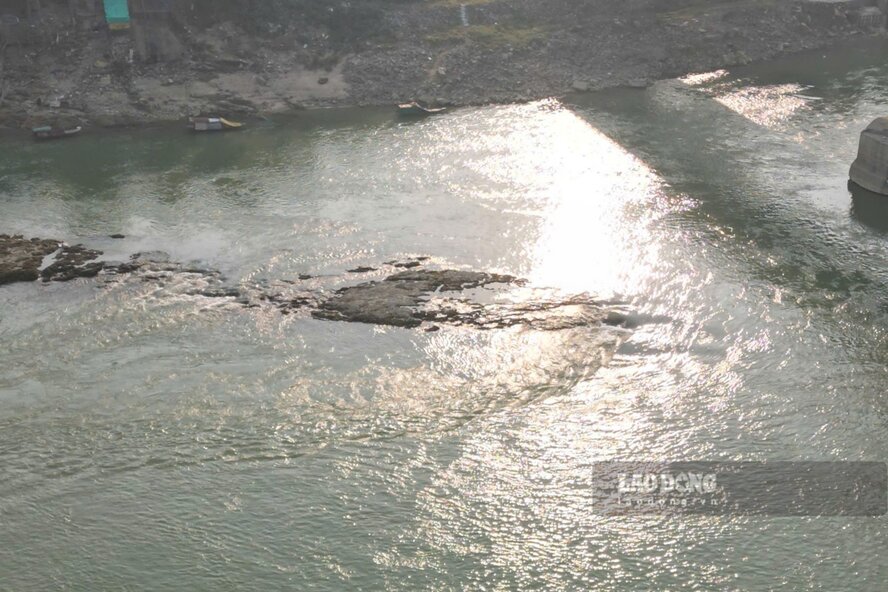
With the Lo River, the water level of the river section passing through Tuyen Quang and Phu Tho provinces is also low. According to records in Phu Tho, when the river dries up, countless underground rocky beaches are revealed in the middle of the river.
According to the Forecast Bulletin, medium-term hydrological warning, in the coming days (from February 21 to March 2), the water level on the Lo River will continue to be affected by the upstream hydropower regulation.
Data on the actual water level measured on the Lo River at Tuyen Quang station shows that in the past 10 days, the highest water level was 13.60m, the lowest was 11.04m, the average was 12.30m; in the next 10 days, the forecast highest water level is 13.80m, the lowest is 11.00m, the average is 12.25m.
At Vu Quang station (Phu Tho), the water level measured in the past 10 days is highest 4.47m, lowest 4.21m, average 4.28m; in the next 10 days, the water level here is forecast to be highest 4.75m, lowest 4.20m, average 4.25m.
According to the Medium-season Water Forecast Bulletin (from February 17 to February 28), the flow rate on the Lo River increased compared to the previous period (10 days ago), the total flow rate on the Lo River at Tuyen Quang station is 40% lower than the multi-year average over the same period.
However, it is forecasted that in the coming period, the flow rate on the Lo River in Tuyen Quang will be 77% lower than the multi-year average of the same period.


